Previous Forecast
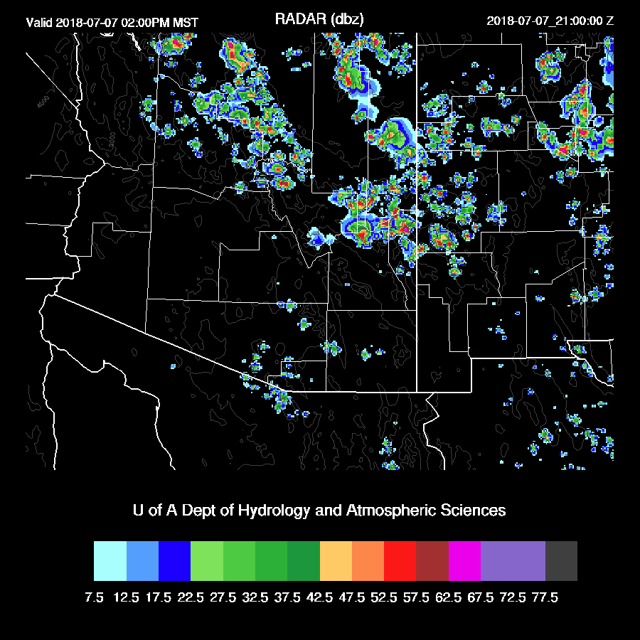
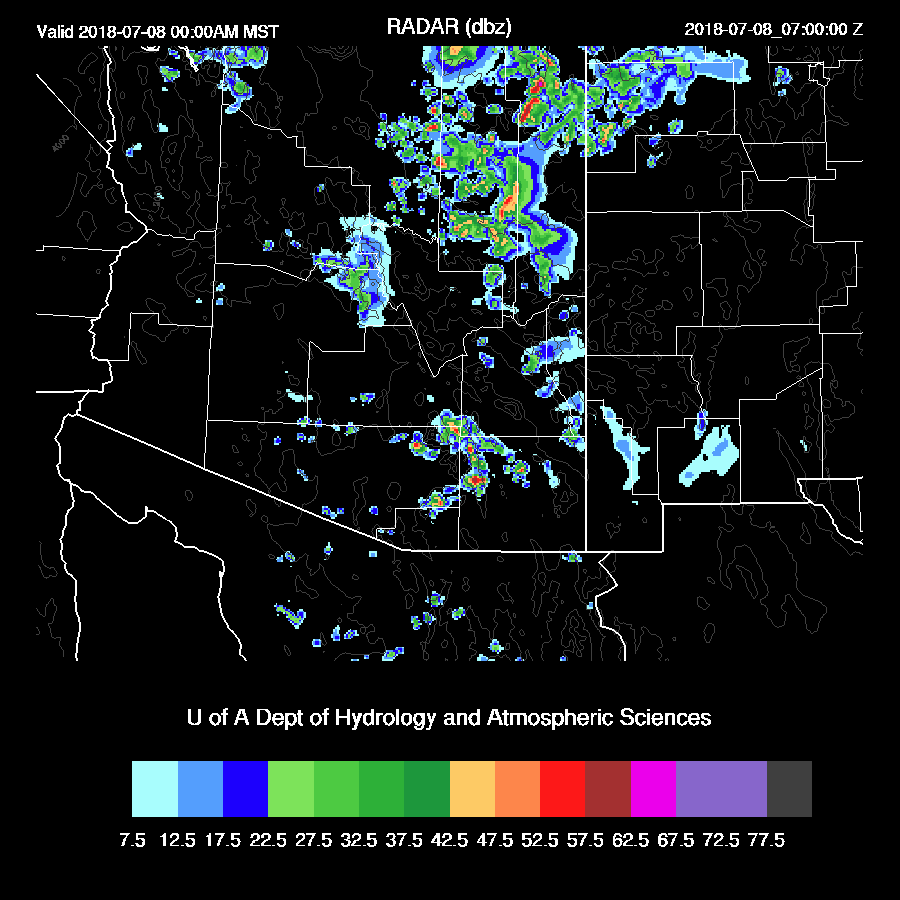
Storms formed over the high country of east central Arizona and moved westward into Gila and eastern Pinal where they ejected a strong outflow that produced a big dust storm. Scattered storms also developed in eastern Pima county during the afternoon.

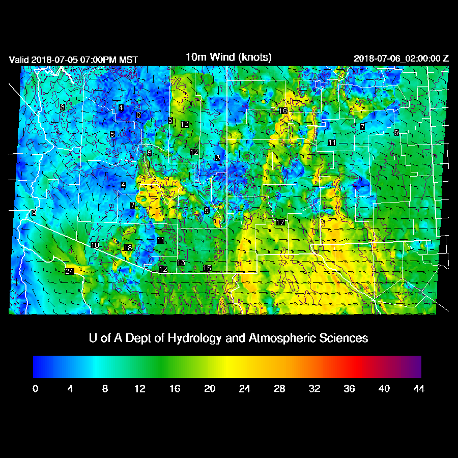
The WRF runs during the 24 hours previous ranged in accuracy from excellent to poor. Unfortunately, I went with the less active runs which were the 12Z runs from yesterday morning. The previous day’s WRFGFS (below) and WRFNAM runs had the activity around the Tucson area and the outflow that caused the dust storm south of Phoenix. This outflow cooled Phoenix down slightly thus no high low record. This is not the first time the previous day runs have been more accurate. It happened just a week ago Friday in Cochise county.
Initializations
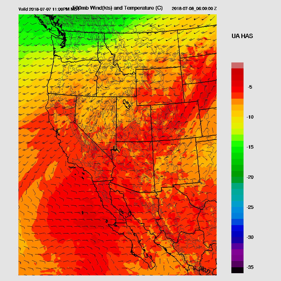
The heights at 500mb are 6000m at Grand Junction this morning. Wow! The analysis shows a weak inverted trough over Sonora but I don’t see any cyclonic rotation in any of the morning satellite imagery. I got word back from my contact in Mexico who called Servicio Meteorológico Nacional about Empalme and that they are out of helium for the balloon again and that they expected delivery in 2 weeks. The same thing happened last year too and I don’t think they were resupplied until the very end of the monsoon season. I’m going to talk with the people that are in charge of the upper air program at SNM next week and see if there is some way to assist them in keeping Empalme operational during the monsoon season.
It is mostly clear over Arizona except for far SW Arizona and these clouds were missed by the initializations. The NAM and GFS initialized a little too wet in NM while the RR had minimal errors. I’d give the nod to the WRFRR today.
Day 1
Moist advection continues due to southeasterly flow from New Mexico. Western Arizona has become quite wet as some low-level moisture is also coming up from the Gulf of California.

Unfortunately, CAPE is nearly zero over much of the southern ½ of Arizona, but it’s sufficiently high to support some storms along the Rim and into Mohave county.

Deep convection initiates during the afternoon over these areas and by late afternoon a few storms are scattered about.

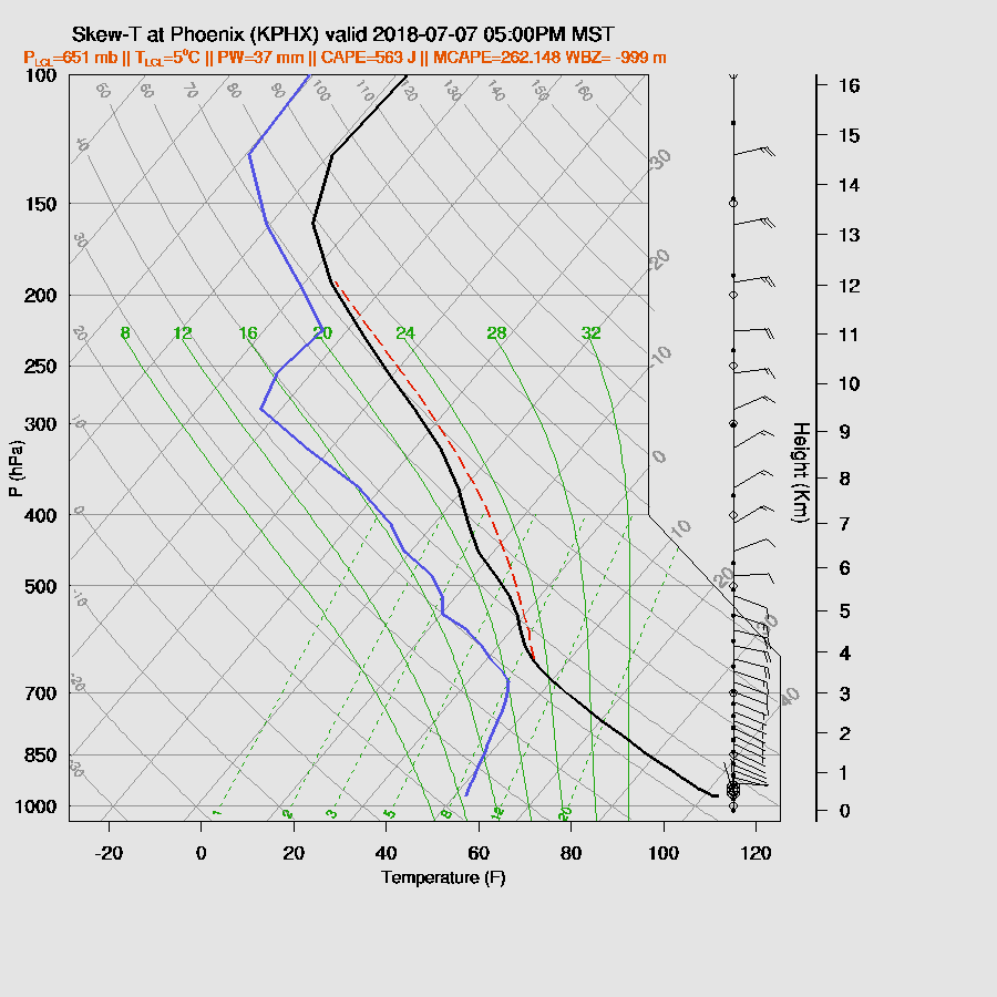
The forecast Skew-T for Phoenix has only minimal CAPE and unidirectional flow with no shear.

Day 2
The 500mb pattern remains about the same with the high centered in western Colorado and good mid-level north easterly steering flow over Arizona. Note that there is some cooler air and possible shortwave moving to the SW over eastern CO and NM and is likely to be a factor for Arizona in a few days.

Low-level easterly flow continues over SE Arizona with unfavorable downslope conditions. However, the strong easterly flow over central Arizona weakens while moisture continues to slowly increase from the south.
Sufficient CAPE is present over much of eastern Arizona to support scattered deep convection. CAPE is quite high over far SW Arizona but it’s likely a strong cap exists there.

Quite a bit of activity is present by afternoon over the higher terrain of a large part of northern Arizona.
The lower deserts around Tucson and Phoenix don’t have enough CAPE to support widespread activity. In addition, the wind profile is unidirectional with no good low-level shear to support propagation. However, steering is excellent for moving storms down from the mountains towards Maricopa/Pinal and Pima counties.
The WRFNAM/WRFGFS and WRFRR are quite different as the WRFRR (below) does move a few storms into the lower elevations by early in the evening while the other two have minimal activity.


Both the WRFGFS and WRFNAM do have showers and storms continuing into the late evening over parts of eastern and northeastern Arizona. Thus both Phoenix and Tucson may see some late night activity.
This nocturnal activity appears to be forced by the weak IT mentioned above which is approaching eastern Arizona by tomorrow night.
No comments:
Post a Comment
Note: Only a member of this blog may post a comment.