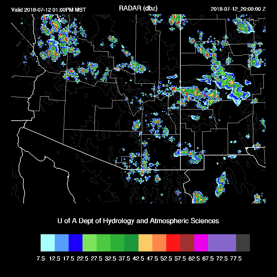
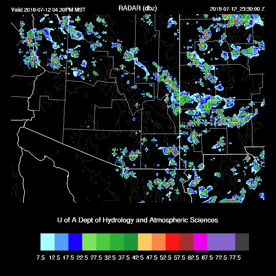
Previous Forecast
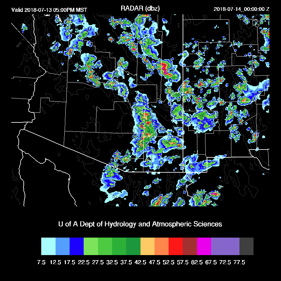
Another active day over much of the state with widespread precipitation with pockets of heavy rain especially north of Phoenix.
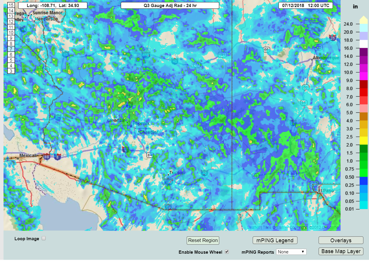

The WRFNAM was the more accurate forecast by far yesterday as the other 2 12Z runs did not have enough precipitation. It did miss the unusual afternoon activity in far western Arizona and into California and didn’t have enough precipitation around the Phoenix area.
Activity did develop around Tucson and Phoenix early this morning which was mentioned in the Utility forecast as it was forecast by the 12Z WRFNAM.
Initializations
A large 500mb ridge continues to dominate much of the central and western CONUS. A weak trough over the NW CONUS has displaced the high eastward to Iowa thus the southwest US is under light and variable flow with no discernible inverted troughs. There is a weak 300-200mb upper trough over western Arizona into California.
Widespread clouds are present over eastern and northern Arizona and an MCV is located NW of Flagstaff. A few storms are continuing north and east of Phoenix. The RR has initialized the clouds very well and even has some of the areas of showers initialized correctly too. The northern Arizona MCV was initialized as a weak IT. The NAM also has the weak IT circulation initialized fairly accurately. The NAM has a few showers initialized in the general area of the morning activity and also has clouds generally initialized well. Note that there has been a major change in the model configuration for this summer as the WRF now uses a new technique to estimate cloud fractions within a model grid box. This change has resulted in more clouds which is a big improvement as lack of clouds, especially in the monsoon season, has always been a problem.
The RR initialized a little too wet over SW Arizona and into Sonora but not enough to be a problem. The NAM is also somewhat too wet over Arizona and into NW Mexico. Both the WRFRR and WRNAM have initialized well and both should perform well today.
Day 1
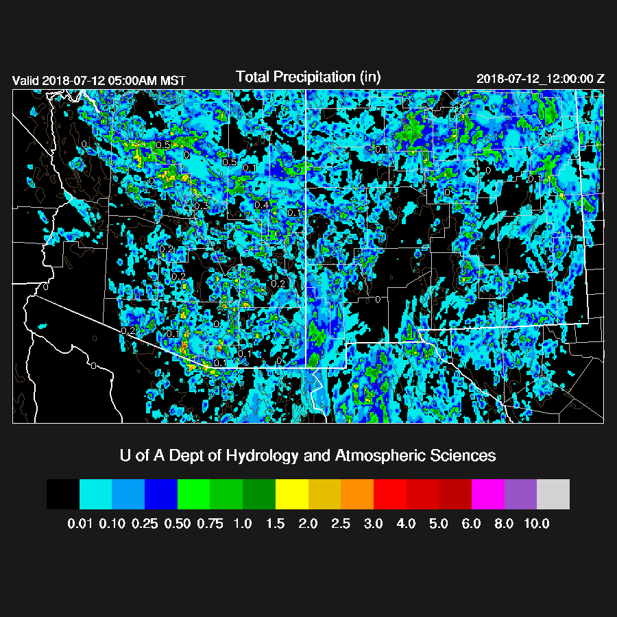
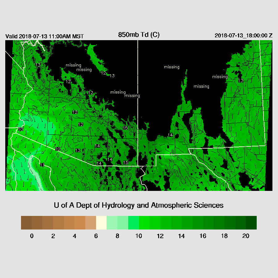
Very wet air continues over the state with PW as high as 51mm at Buckeye. However, the Suominet sites in NW Mexico have indicated some drying has occurred over the last 24 hours and PW has decreased in far SW Arizona this morning. By mid-day, the wettest air is from Phoenix and westward and slightly less wet air is advecting into SW Arizona.
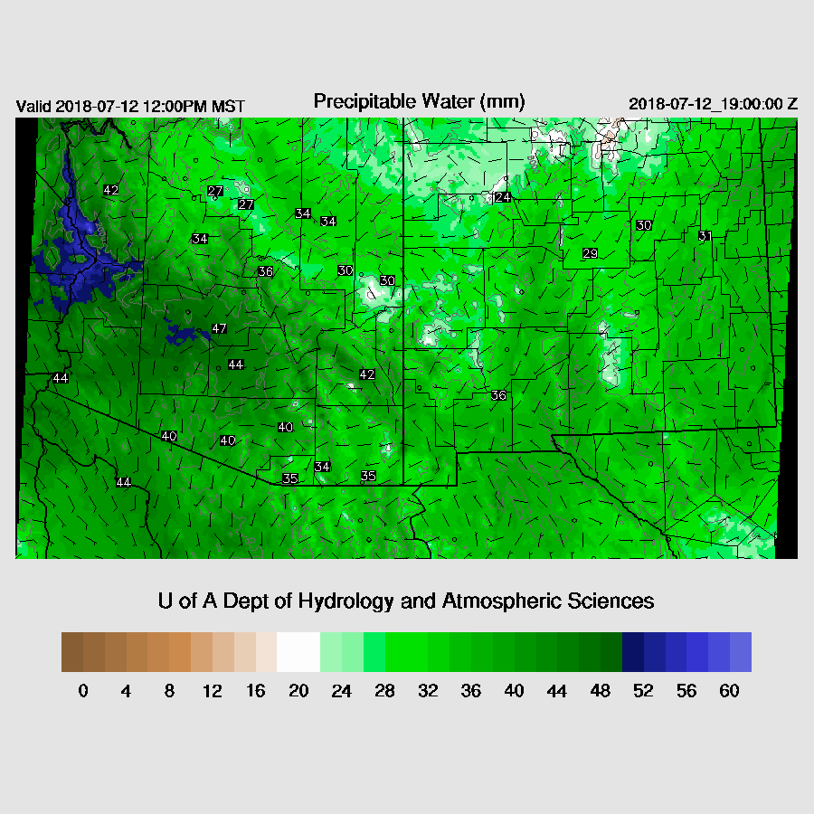
This drying is pronounced at 850mb but the rest of the state is still very wet with 850mb dew-point temperatures around 15C.

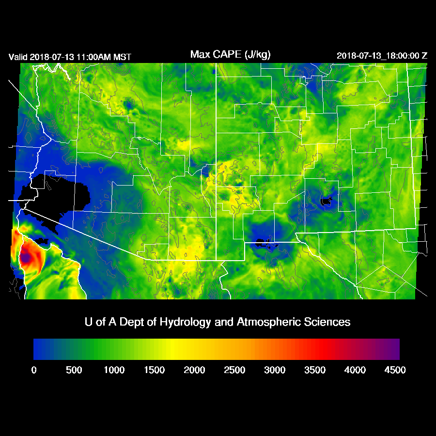
Areas that have moderate to high CAPE and mostly clear skies should again be quite active. Like yesterday, heavy rain is the main threat as steering flow is non existent and moisture remains high.

Early afternoon storms form mainly over NW Arizona in the vicinity of the upper trough and over the higher terrain of eastern and SE Arizona where it is mostly clear.
Tucson has a well mixed PBL and good CAPE this afternoon but a weak inversion is present at the top of the PBL which may act to inhibit deep convection over low elevations. Winds are also unfavorable for storm propagation as they are light and variable. The higher terrain is likely to see activity and maybe a few storms may form in the lower elevations. Those that do will produce very heavy rain.

There is little to no activity over the lower elevations of the state later this afternoon as the slightly drier air has stabilized the atmosphere. Only the higher elevations see storms and they are scattered at best.
It looks like the run of active weather for Phoenix has come to an end, at least for today in spite of high late afternoon CAPE. The PBL doesn’t mix deeply enough on its own to reach the LFC and it’s unlikely any outflow boundaries move into the valley to provide the needed lift.

Activity decreases during the evening across most of the state but continues late into the night over far SE Arizona.

Day 2
Weak steering flow continues over much of the state but it is now northeasterly as a high center develops over the Four Corners. Thus, some high elevation storms have a chance to propagate into the lower elevations of SE Arizona.

Moisture continues to be abundant for much of the eastern and northern parts of the state.
As well as CAPE.
Strong storms form over much of the higher elevations during the afternoon hours and slowly move to the southwest.

Tucson afternoon CAPE is forecast to be moderate along with some low-level shear and mid-level northeasterly flow thus storms in and around Tucson are likely.

Both the WRFRR and WRFNAM have storms moving into the Tucson later in the afternoon or early evening.
Storms that move towards the Phoenix area will die off as there isn’t enough CAPE to support them due to the slight drying of the PBL.

No comments:
Post a Comment
Note: Only a member of this blog may post a comment.