Previous Day
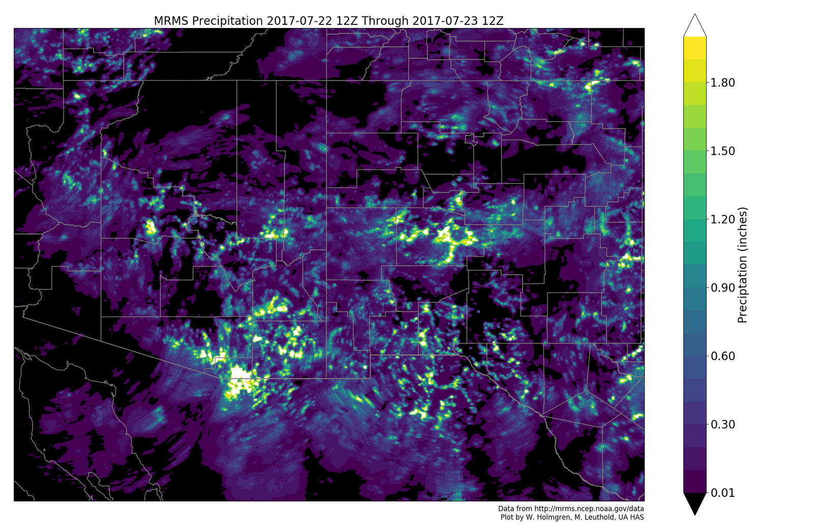
Most activity was in the southeastern ⅓ of the state with widespread heavy rain in far SE Arizona. Tucson got into the action as parts of the city received more than an inch of rain.

In general, the WRFGFS (below) was the best run as it had heavy precipitation in SE Arizona. The other two runs weren’t too bad either.

Initializations
The 500mb high center is somewhere over UT and a broad but weak IT is somewhere over NW Mexico with one wave over NW Sonora and maybe another south of El Paso. All the initializations have some sort of IT in NW Mexico and it’s hard to say what is wrong and what is right. 
Thick clouds and showers are present over SW Arizona with scattered to broken elsewhere across much of the southern ½ of the state. The GFS and RRx look pretty good while the WRFNAM has too much storm activity in southern Arizona in the first few hours of its run. This is a major problem and disqualifies the WRFNAM for today, at least for southern Arizona. The GFS PW initialization is too dry over far eastern Arizona. Otherwise, the RR and GFS PW errors are small. Surface heating is a little warmer over far eastern Arizona but fairly close to observed elsewhere except the WRFNAM where it is much too cool in some areas due to incorrect showers and storms. The WRFGFS and WRFRR initializations look fairly good and these are the model runs of choice today.
Day 1
Some of the highest morning PW so far this summer as Tucson has 48mm, Phoenix 52mm, Lukeville, 52mm, and Puerto Penasco at 54mm. A surge is underway (obviously) as surface wind speeds at Yuma are from the SSE at 15 knots. IPW is forecast to remain at these extreme values during the day today thus storms that do get going will produce very heavy rain.

The 850mb dewpoint temperatures over SE Arizona are about the highest I’ve ever seen, excluding tropical system, with 17C in some areas.

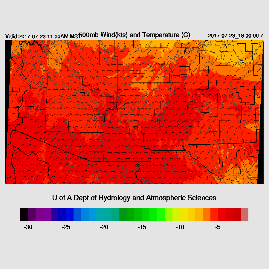
500mb steering flow is mainly easterly or northeasterly at 10 to 15 knots which is enough to move storms off the mountains. 500mb temperatures from the upper air data are a very warm -5 to -4C and that continues throughout the day.
Both the WRFNAM and WRFGFS (below) have moderate to high CAPE over much of eastern Arizona while the WRFRR is a bit lower which has usually been the case recently.

Much of eastern Arizona is clearing up and getting some surface heating and deep convection is initiating over the highest terrain as of 17Z. By early afternoon areas of strong storms are over the Rim and White Mountains and into SE Arizona. Tucson is getting much more sun than was being predicted yesterday so some heavy showers and storms are possible today.

By early afternoon Tucson has a moderate amount of CAPE, some low level shear, and good steering winds. The morning sounding says the LFC is around 750mb and Tucson is getting close to that so it looks like there will be some activity today. Very heavy rain is again likely with storms.

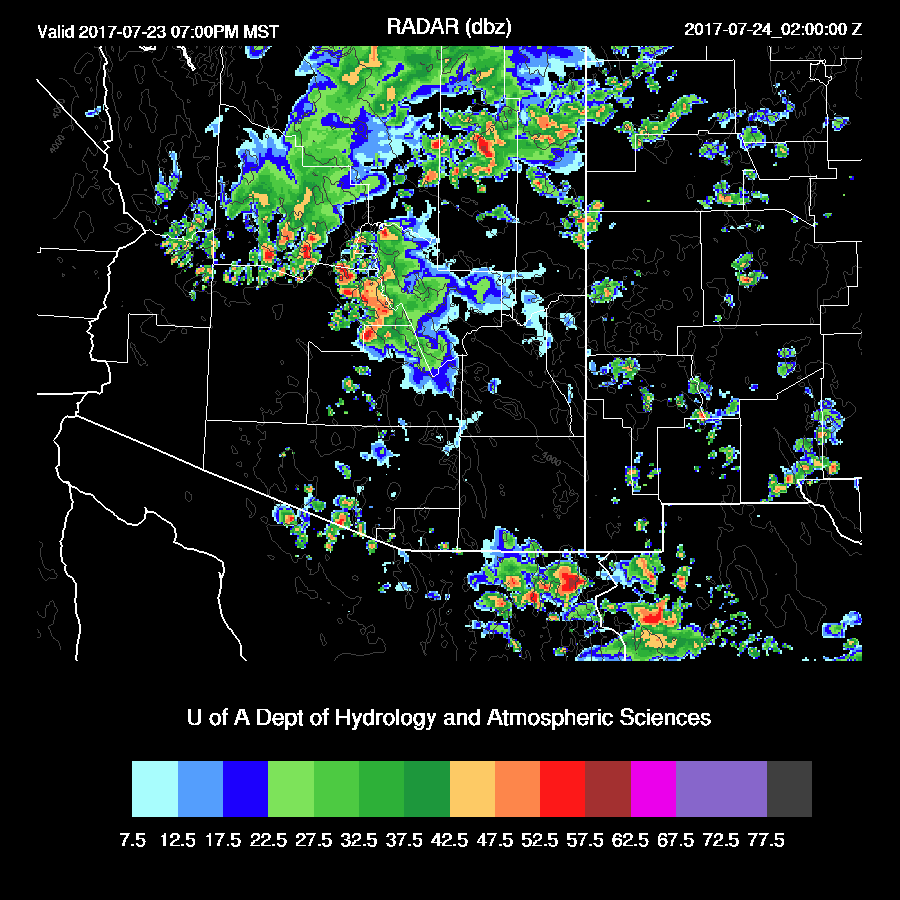
Later in the afternoon, storms start moving off the high terrain towards central Arizona. SE Arizona continues to have a few storms around.

The vertical profile looks good for Phoenix with good low level shear, some mid level easterly steering flow and a deeply mixed BL as well as 800-1500 J/kg of CAPE. The LFC from the 12Z sounding was at 700mb and the mixed layer is close, so an outflow or two should form storms. All this wet air around makes the warm air at the mid levels less of a negative.

The bad news is only the WRFGFS brings activity close to the Phoenix area by early evening and doesn’t actually develop storms in the metro area. The other two models have no activity but the WRFNAM is suspect and the WRFRR has not been forecasting enough deep convection recently. I think there is enough instability for at least a few storms in Phoenix early this evening. There could be quite a bit more activity than forecast if the outflows from the east intersect with the outflows from the north.
As I’ve been taking my sweet time writing this discussion, the 15Z WRFRR is now available and it’s quite similar to the WRFGFS as big storms approach Phoenix and then die out as they move into the valley. A few showers/storms form as the outflow moves through.

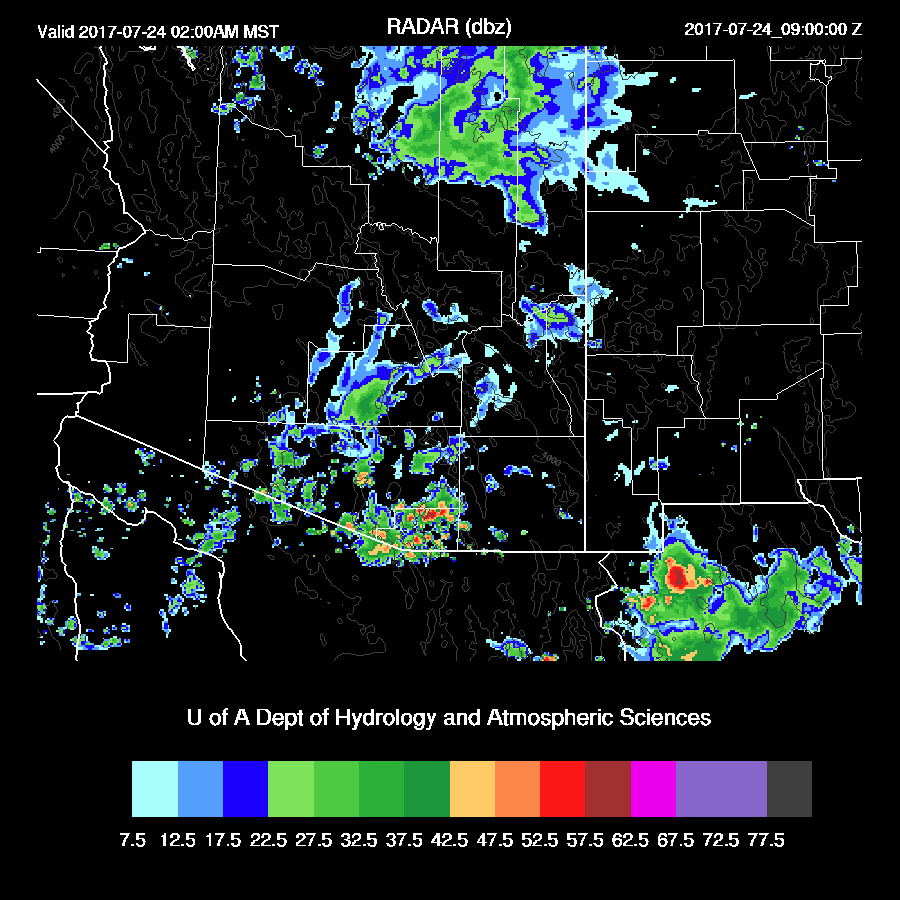
Some of the morning runs eject the Sonoran IT out over the state tonight resulting in some continuing activity mainly in southern Arizona.
Day 2
Day 2 forecast accuracy has been poor, as expected, due to the complexity and initialization uncertainty. This continues for tomorrow as some runs continue activity during the morning hours as the IT is somewhere over southern Arizona.

There is not much more I can say with any confidence thus we’ll have to “wait and see” for tomorrow. It does look like we are beginning to transition to SW flow as a trough drops down off the coast of California.

No comments:
Post a Comment
Note: Only a member of this blog may post a comment.