Previous Forecast
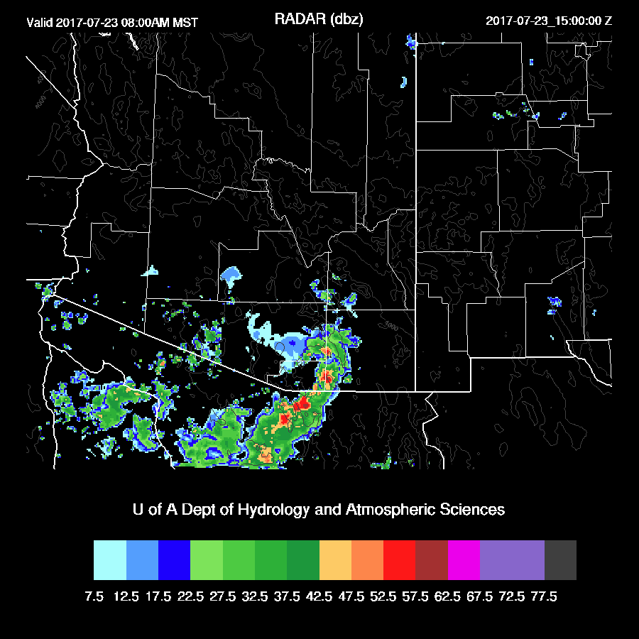
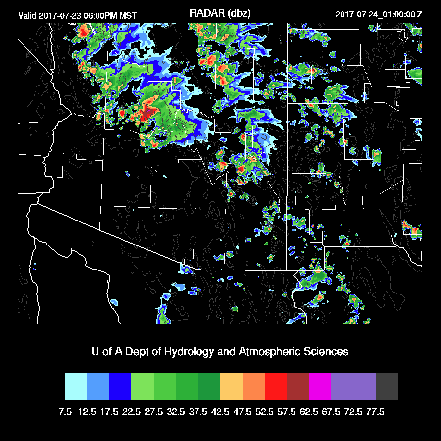
Nearly a repeat from the previous day as there was quite a bit of activity over the higher terrain of the state and a few storms in and around Phoenix and Tucson.
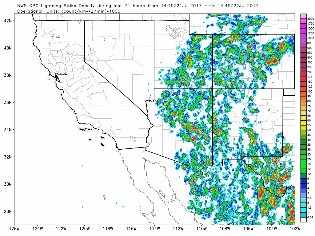
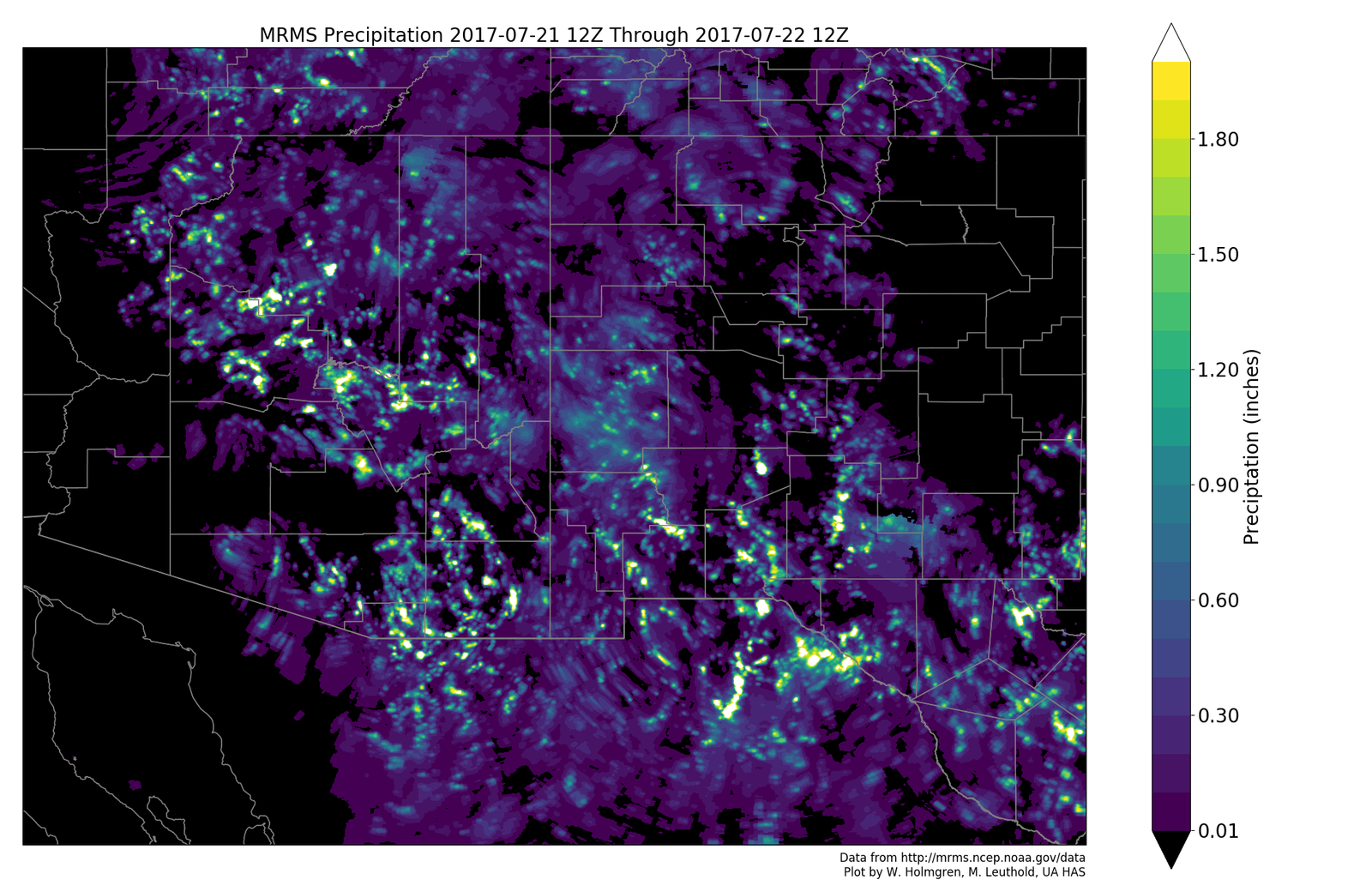
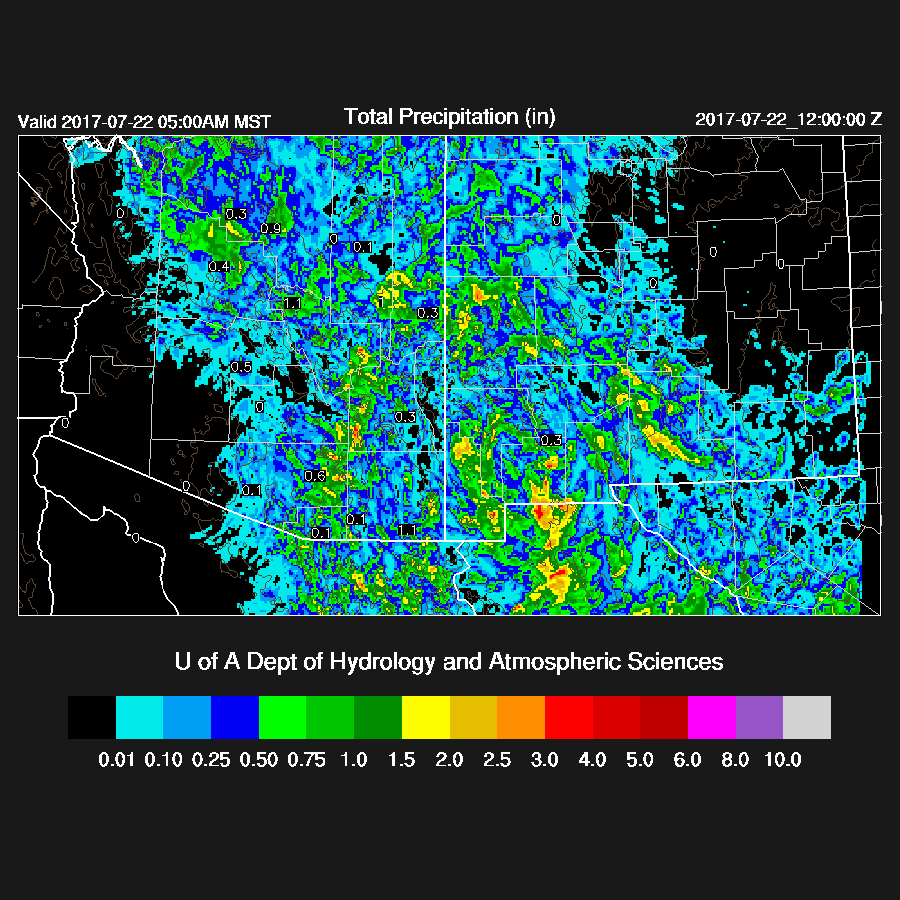
The WRFRR was too dry while the WRFNAM and WRFGFS(below) were fairly good. The WRFGFS had a bit too much precipitation around Tucson as the stronger storms were just east and south of the metro.
Initializations
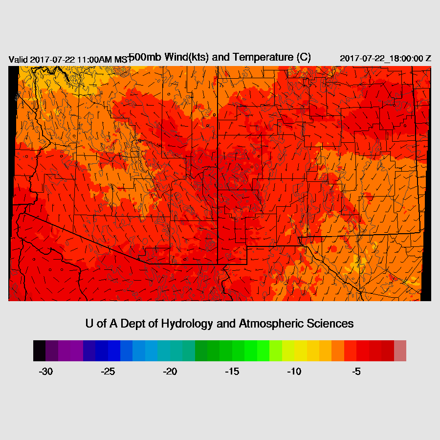
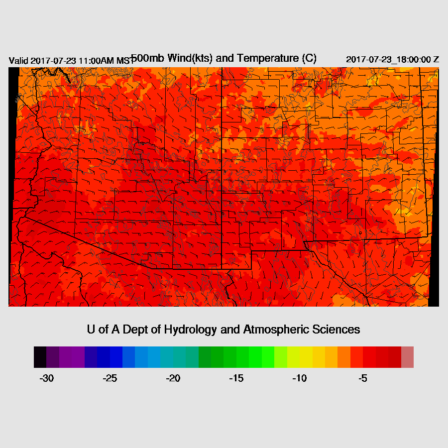
No major changes with the upper air pattern as a trough is located over far eastern Arizona and the 500mb high is centered north of Las Vegas putting Arizona in N to NE flow. Slightly cooler air was seen in northern Arizona and perhaps that will filter down to southern Arizona giving a bit steeper lapse rate as recently 500mb air has been warm, around -5C. Besides the trough over eastern Arizona, there is another over far eastern Sonora/western Chihuahua which has kept deep convection going over Sonora this morning. The NAM and GFS are well initialized at 500mb while the RR doesn’t have the Sonoran IT as strong as it should be. The RR, NAM, and GFS have initialized clouds and the Sonoran storms fairly well. 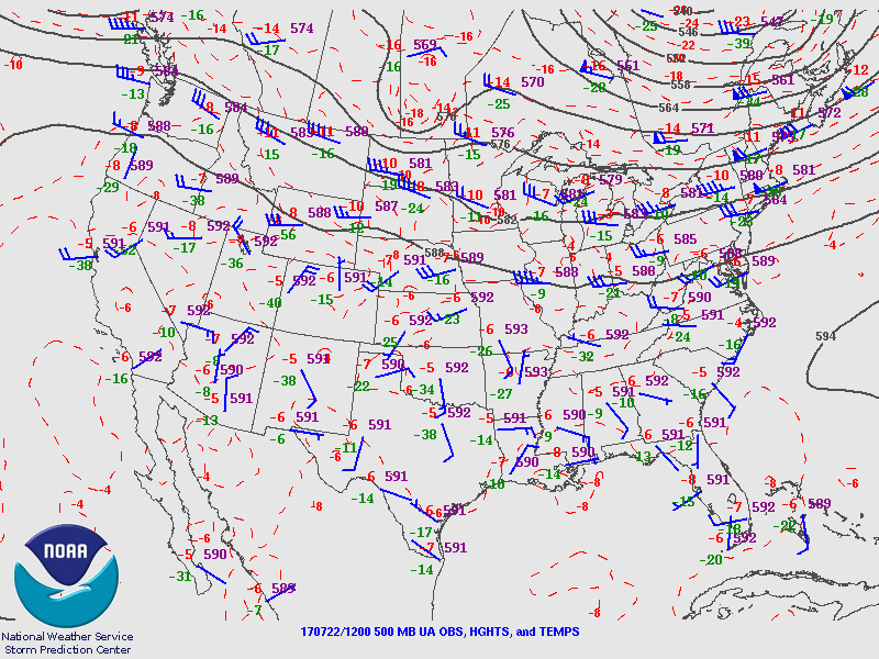
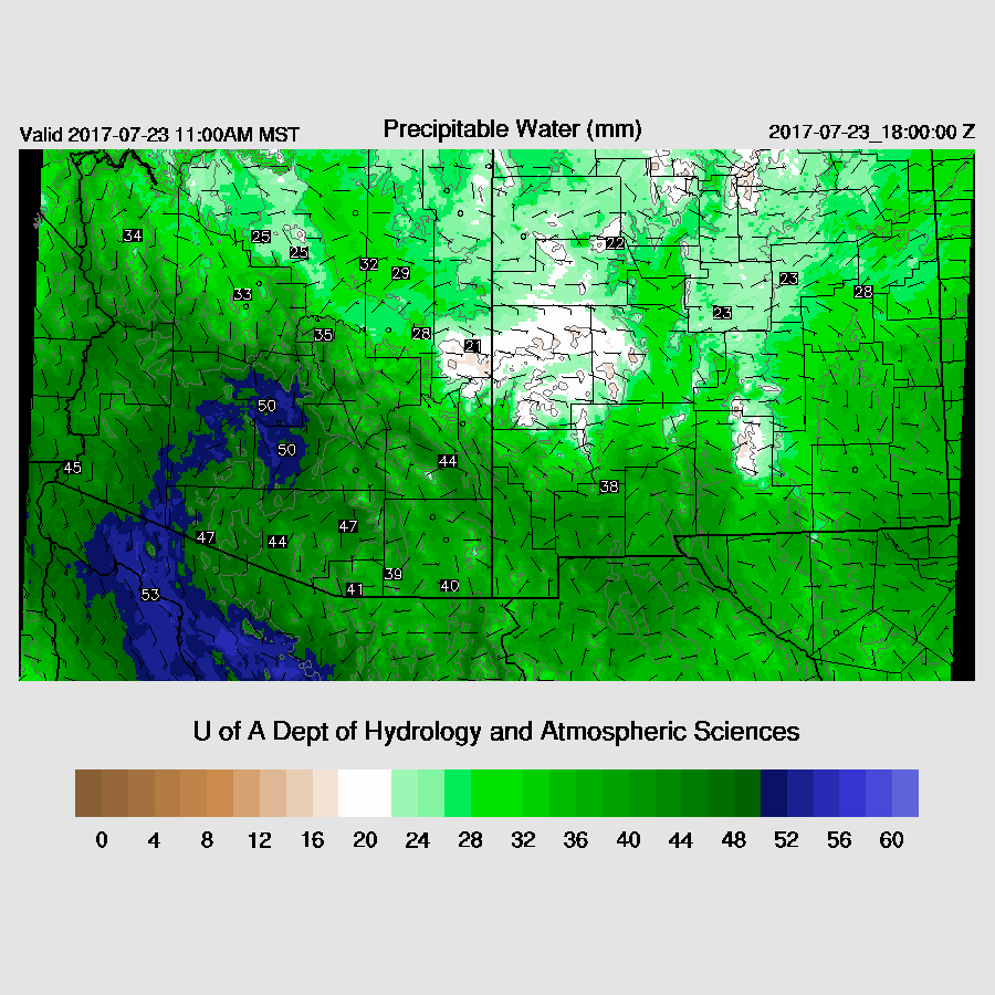
The NAM is a little too wet in Mexico while errors are small elsewhere. The GFS and RR have minimal IPW errors. The WRFGFS is a little too warm in the deserts at 16Z. Overall, the model initializations look good with no clear favorite except to say that the WRFNAM and WRFGFS have been the better runs recently.
Day 1
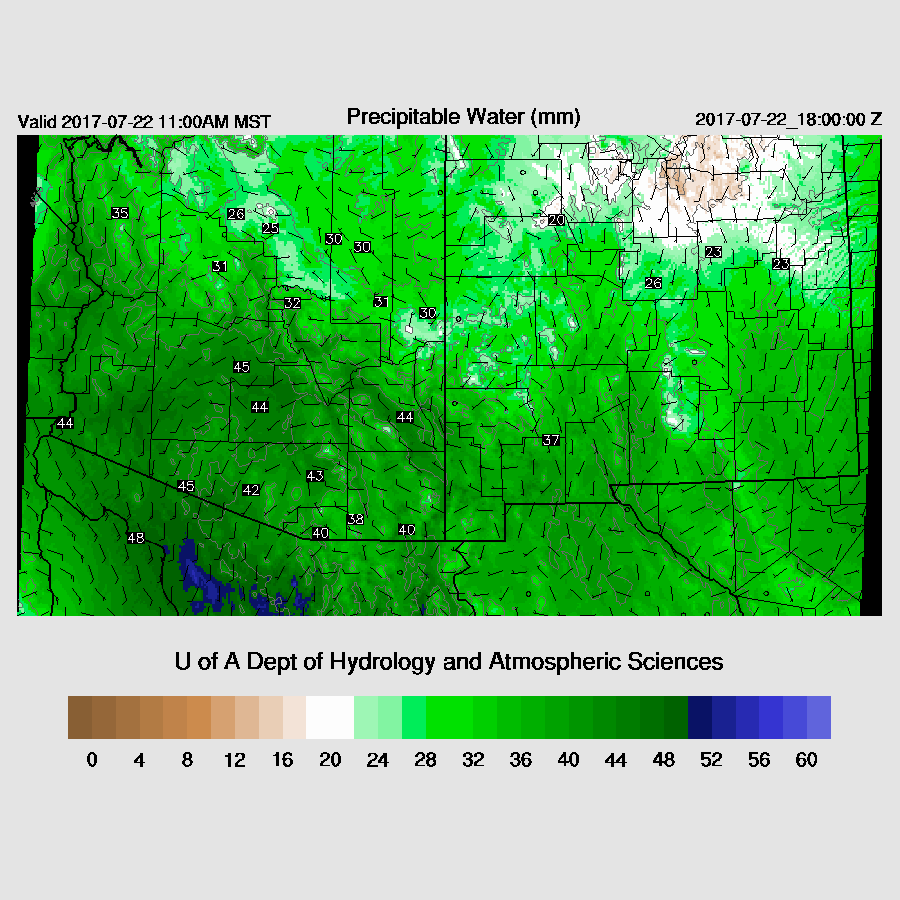
Very wet air continues over most of the state while some drying has occurred out in western Arizona. Dewpoints have dropped to around 60 in Yuma. Moist air continues to move into Arizona from the south during the day. This is an amazing streak of over 40mm for the lower deserts, especially for July.
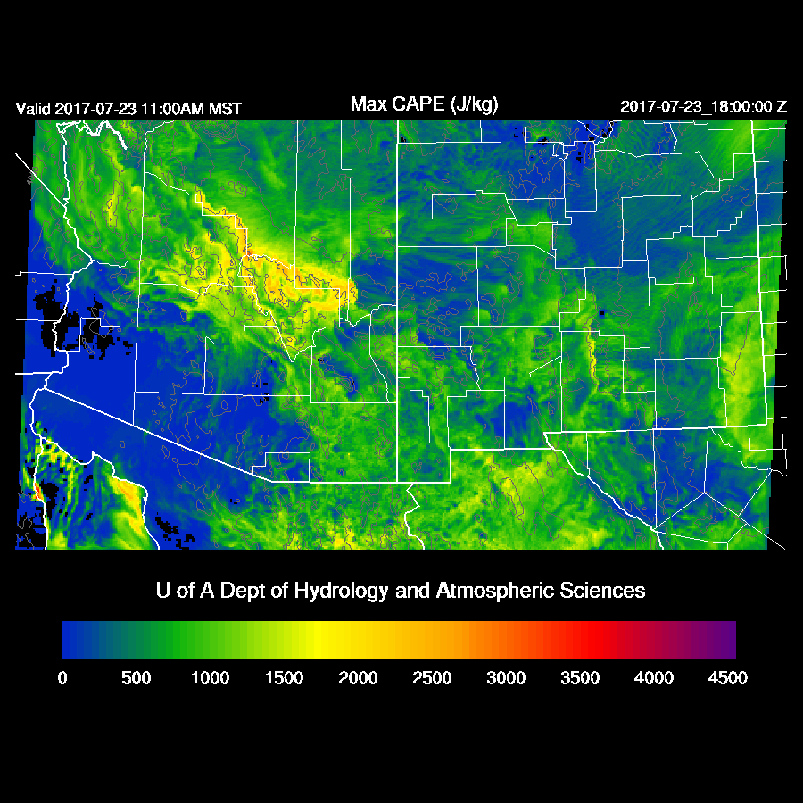
CAPE is moderate to high over much of eastern Arizona and along the rim so deep convection should form before noon over the high terrain in these areas. At 16Z, RADAR already indicates storms over far SE Arizona.

The far western NM trough remains mainly stationary today thus keeping Arizona in light northerly flow. Again, storms should form on the higher terrain and drift south with a few in the lower elevations in and around Tucson and Phoenix.
The 250mb high has moved northward and is over Arizona today thus providing weak upper divergence over the state.

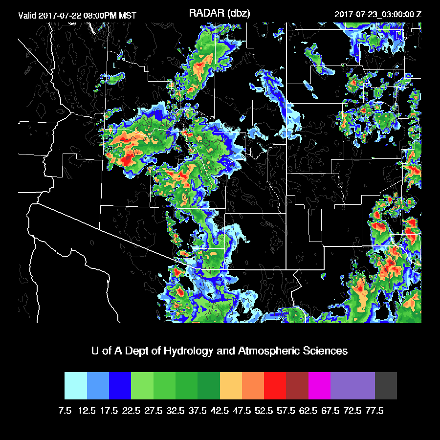
Storms get an early start over eastern Arizona and by early afternoon, some storm storms are present over parts of eastern Arizona.

There is quite a bit of model spread as the WRFRR has more activity over NC Arizona while the WRFGFS(below) has very little there and is more active over far SE Arizona.

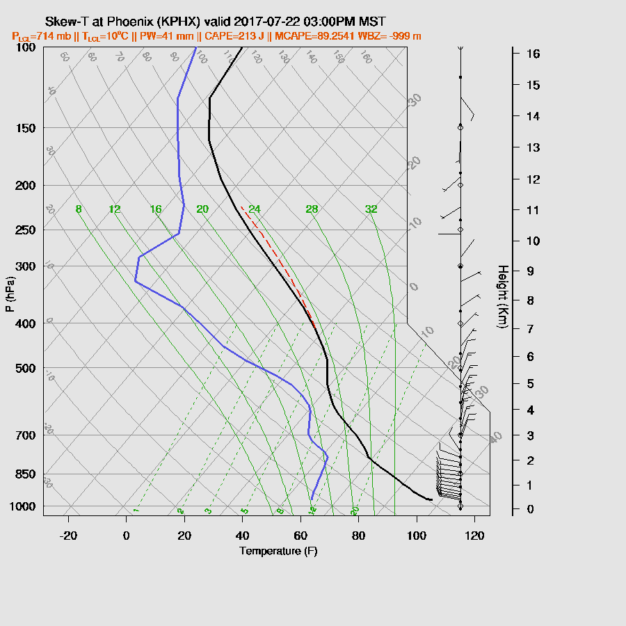
I’m not sure where all the CAPE at Tucson went today as the morning sounding had over 1300 MLCAPE. Minimal CAPE is forecast by the afternoon as there is quite a bit of warm air above 500mb probably due to some subsidence as the upper high moves over plus slight drying. Winds are OK as there is some mid level steering and low-level shear. However, with no CAPE, not much activity is expected in the Tucson area during the day.

It’s the same situation in Phoenix.
The three 12Z runs more or less agree that there will be a few storms north and east of Phoenix later this afternoon. They have different solutions in SE Arizona where the WRFGFS (below) is very active with big storms pushing to the SSW towards the lower deserts while the other two runs have much less activity and I can’t really say which may end up being right.

The WRFGFS storms mainly die as they move into the lower deserts as CAPE is forecast to be limited with only a few weak storms triggered as the outflow moves through.
Day 2
Mid level flow increases tomorrow with 15 to 20 knots at 500mb as a IT is located south of Nogales and the high is to the north of Arizona.
Moisture again increases as a moderate surge is forecast by tomorrow.
CAPE is forecast to be moderate to high over the higher terrain while it is low in the SW deserts. Storms are again going to struggle as they move off of the high terrain in spite of all the moisture.
The surge advects in somewhat cooler air and with the warm air aloft, there is an inversion present at the top of the BL which will hold most lower elevation convection in check.

The forecast is uncertain for southern Arizona as the WRFRR keeps activity going overnight and into the morning hours forced by the Sonoran IT thus it could be cloudy and cool. The WRFNAM also develops storms over southern Arizona during the morning hours.
My guess is afternoon storms again over and near the Rim to the White mountains while only a few showers over SE Arizona due to previous showers, storms, and clouds holding down heating.

Storms scoot around the Phoenix area during the evening with maybe one or two in the Valley.
No comments:
Post a Comment
Note: Only a member of this blog may post a comment.