Day 2
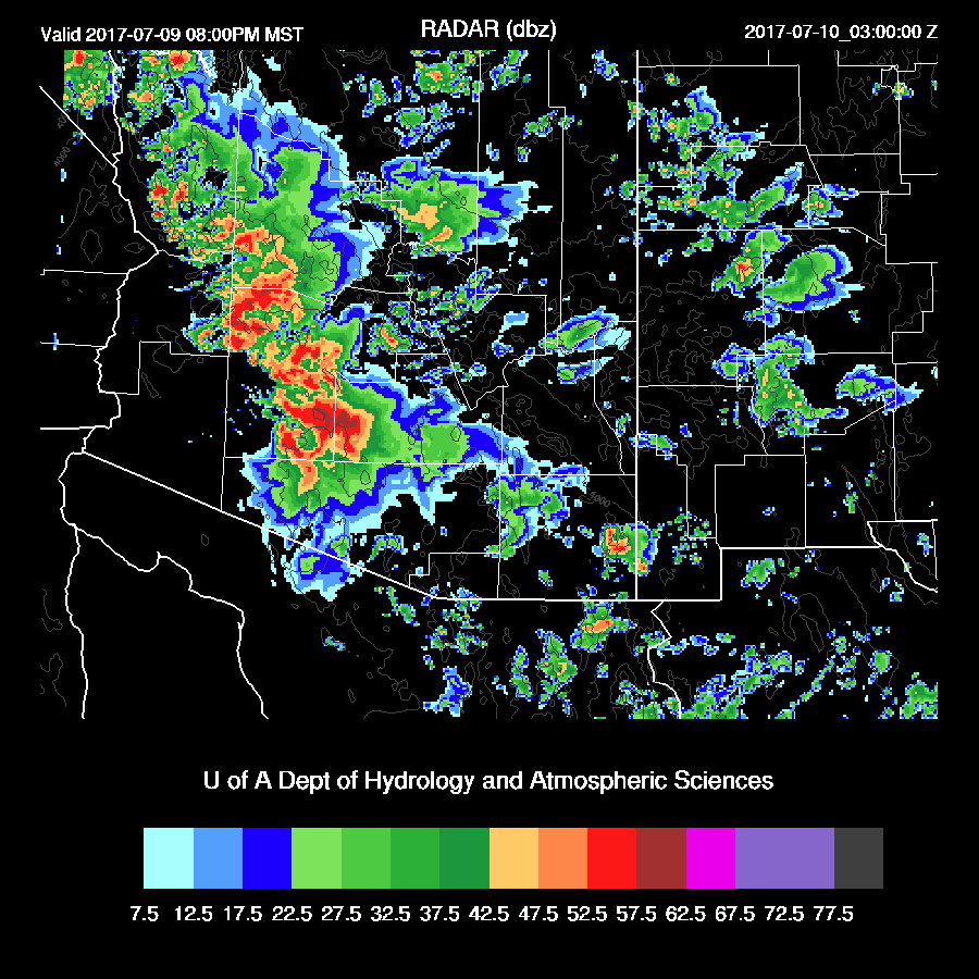
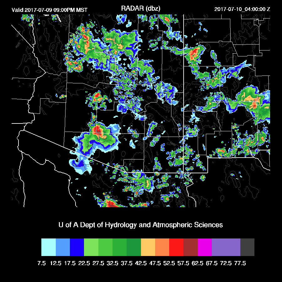
The confidence in the day 2 forecast is now low for a number of reasons. If it’s very active on day 1, the next day is usually a down day. Over the past few days, the runs have been consistently forecasting a big day tomorrow and now the 12Z model runs have backed off due to the activity today. One big question is how much cooling and debris clouds are left behind and we’ll just have to wait until tomorrow to know for sure. One way or another another strong outflow surge occurs later this afternoon or this evening and increases moisture over most of the state including southeastern Arizona where the dry low flow finally ceases.
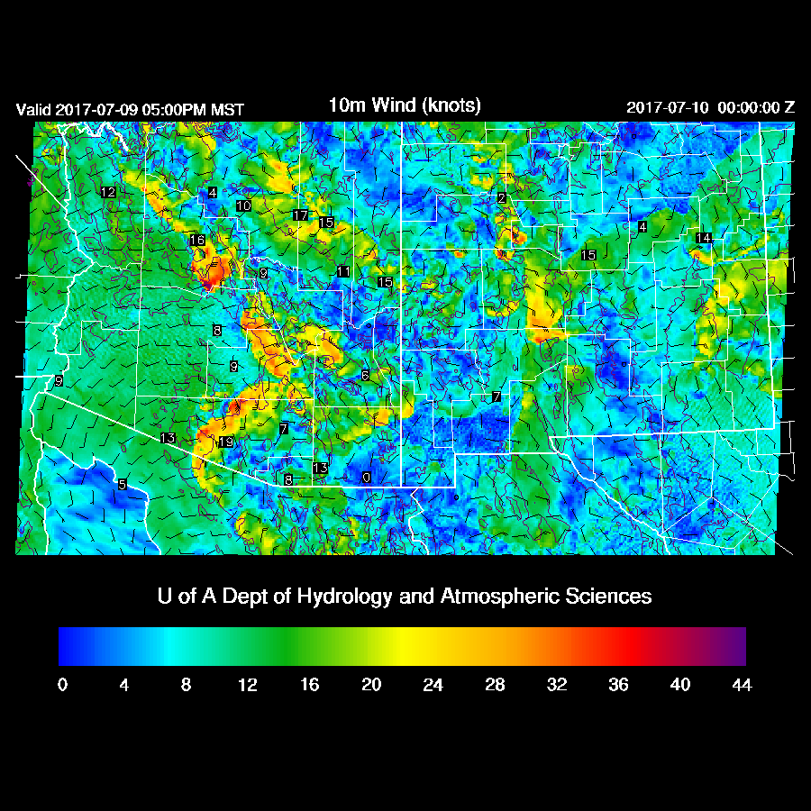
Steering flow continues to be favorable for moving storms into the lower elevations of central and southeastern AZ.

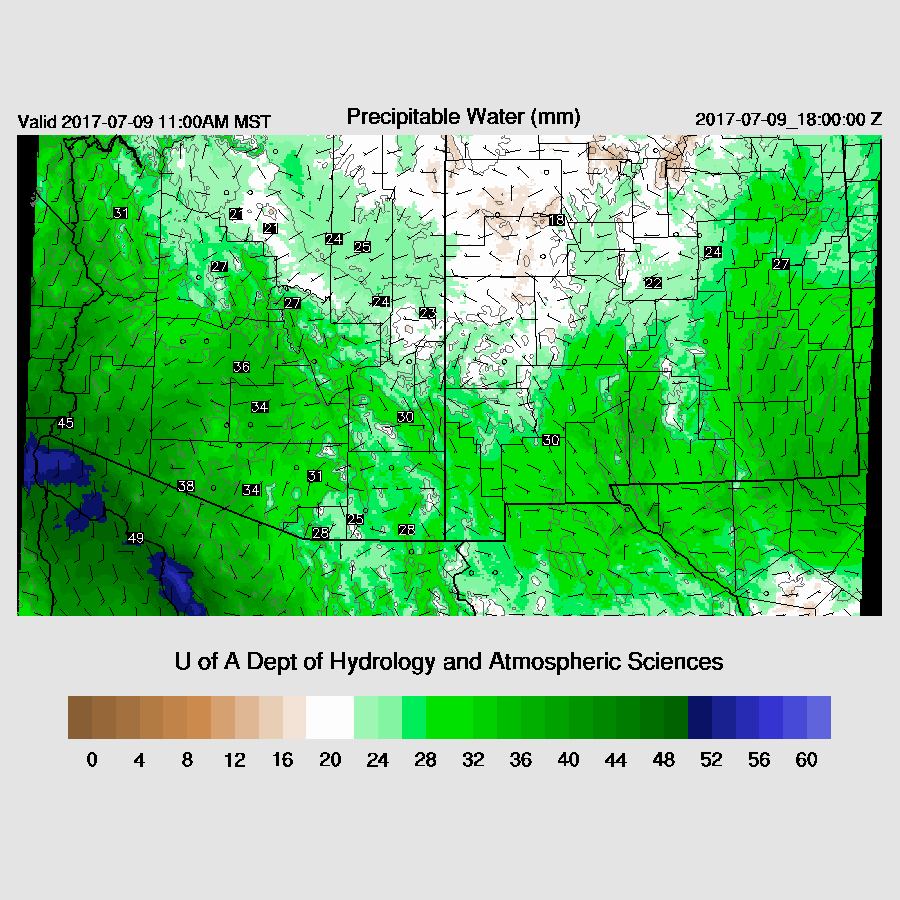
Over the past few days including the 6Z runs, were forecasting a big day for central Arizona as outflows converged on Pinal/Maricopa Counties with plenty of moisture and CAPE present.
Resulting in….
Both 12z runs have backed off as CAPE is now about 500 J/Kg instead of 1500 J/Kg which results in much less deep convection. We’ll have to wait and see.
No comments:
Post a Comment
Note: Only a member of this blog may post a comment.