Previous Forecast
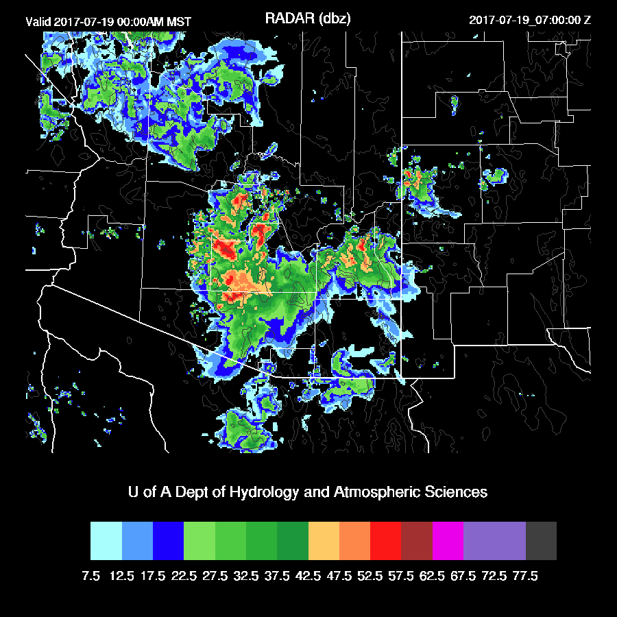
Mostly a down day for the lower deserts except for later in the evening when a strong area of convection moved through northern Pinal county and almost made it into the southern Phoenix metro area. Also, a few storms developed this morning out in western Pima county.

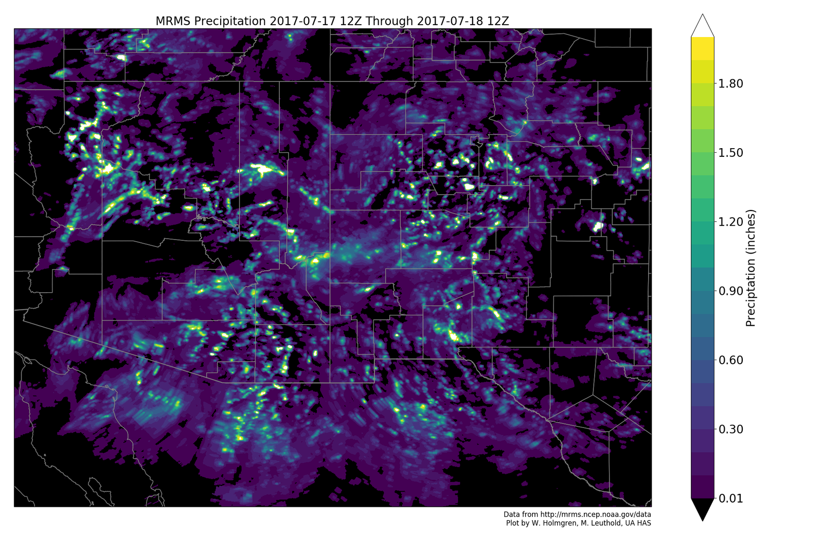
It appears the WRFRR (below) and WRFGFS had the most accurate locations for precipitation.

Initializations
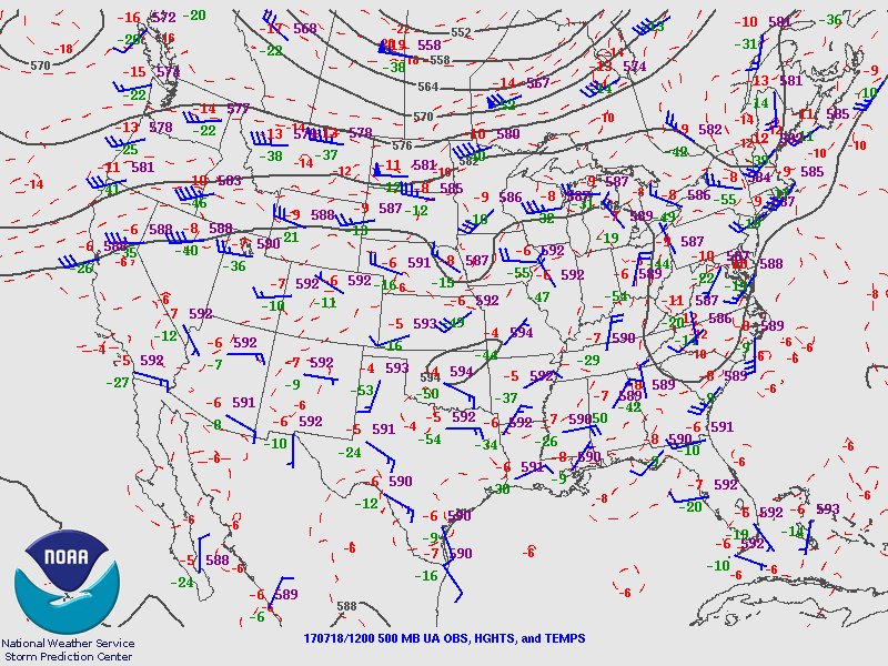
Mainly weak easterly flow is over Arizona at 500mb as the high center has become ill defined and is somewhere over the Four Corners. WV imagery indicates multiple weak troughs moving under the ridge through NM and Arizona with the most interesting one being located in SW NM. Of interest down the road is an IT that broke off from the westerlies and is moving westward through Texas with very dry mid level air behind it. None of the initializations really match up too well with satellite imagery and it’s hard to say how well these features are initialized.
Visible imagery indicates a small MCV over SW Arizona with a moderate amount of debris clouds over western Arizona. The NAM and RR have the weak MCV and associated clouds initialized OK while the GFS doesn’t have that feature or enough clouds. The WRFNAM and WRFRR temperatures are close to observed at 16Z while the WRFGFS is a little warm. The NAM and RR are too wet in Mexico while the GFS had only minimal errors. Very few IPW sensors are reporting in NW Mexico with none in Chihuahua and east of there so some significant IPW errors may go uncorrected. Overall, no initialization stands out and each has some problems. Model confidence is low to medium today.
Day 1
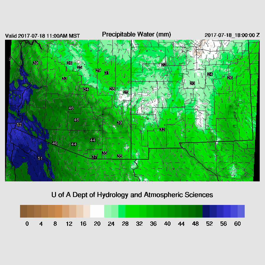
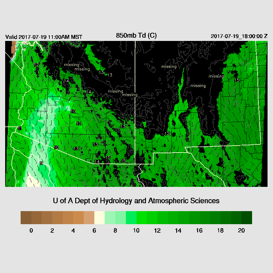
The very wet air continues over the state today with a weak surge continuing.
CAPE is moderate to high over the eastern ⅓ of the state while there is little or no CAPE to the west of Tucson and Phoenix.

Why is this? Drier air is advecting into western Arizona around 850mb and it looks like this trend continues as quite dry air is now present west of Baja. Thus it looks like western and central Arizona may have less activity for the short term.

Steering winds are mainly light easterly today with a weak trough over western NM another over far SW Arizona. There may just enough wind to steer some storms into the lower deserts.

The 12Z runs have quite different forecasts. The WRFNAM is very active over the higher terrain from Tucson to around Flagstaff this afternoon. My guess it has too much deep convection as it looks to be too wet. It had much less dry air at 850mb than the other two runs but who knows which is correct? The dry air is down there, but exactly where and how much is the question. La Paz IPW is quite low and Hermosillo has been dropping since yesterday so there is a drying trend over NW Mexico.
The WRFRR keeps most activity over eastern Arizona this afternoon.

The WRFGFS has very little activity over SE Arizona and only scattered storms along the Rim.

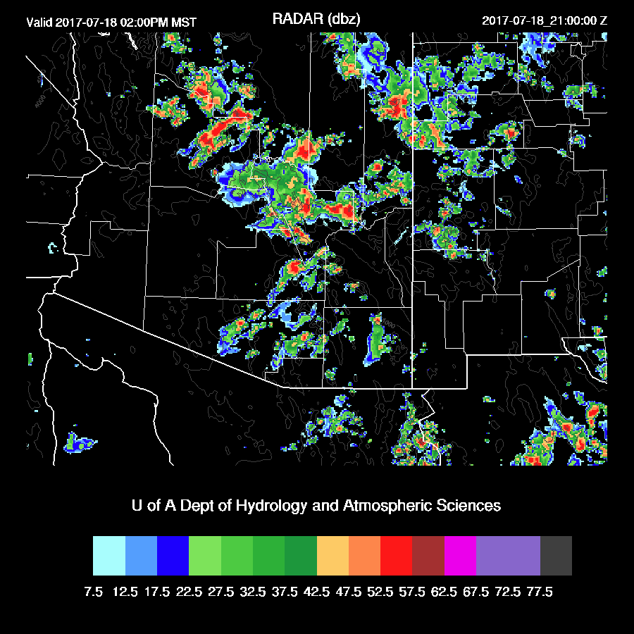
By early in the evening, the WRFNAM has scattered storms around the Phoenix area with a line of severe storms forming in Cochise County.

The WRFGFS is similar with big storms over NW and northern Arizona and activity over SE Arizona.

The WRFRR has very little activity over much of southern Arizona this evening as it was the driest at 850mb. I can’t confidently say which model run is most accurate so that’s why I’m showing all three.

The WRFGFS brings strong/severe storms into eastern Pima and northward during the late evening.

Late evening storms are even possible for Phoenix, at least in the WRFGFS. Again, there is much uncertainty today and tonight.
Day 2
500mb flow picks up over eastern Arizona tomorrow with multiple weak inverted troughs moving through the flow.

All the runs agree that drier air makes its way into western Arizona while the eastern ⅓ remains very wet.
Low to moderate CAPE is present over most areas except SW Arizona. SE AZ and into NM look to be the most active.

Scattered storms across eastern and southeastern Arizona later tomorrow afternoon and evening with maybe some activity in Tucson.

No comments:
Post a Comment
Note: Only a member of this blog may post a comment.