Previous Day
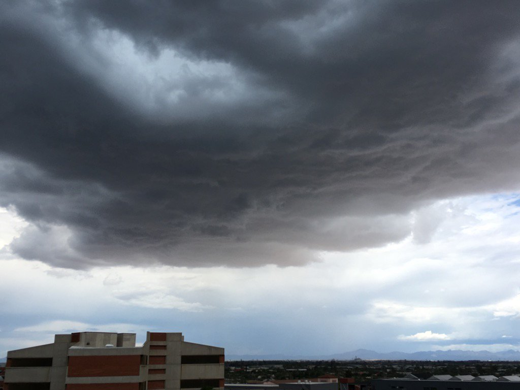
Another active day for northern Arizona as well as the SE part of the state. The UofA got lucky as we were hit by a wet microburst while most other areas of Tucson and Phoenix remained quiet. Below is an image from about 15 minutes before it began. There was pea size hail and wind gusts to around 50mph.


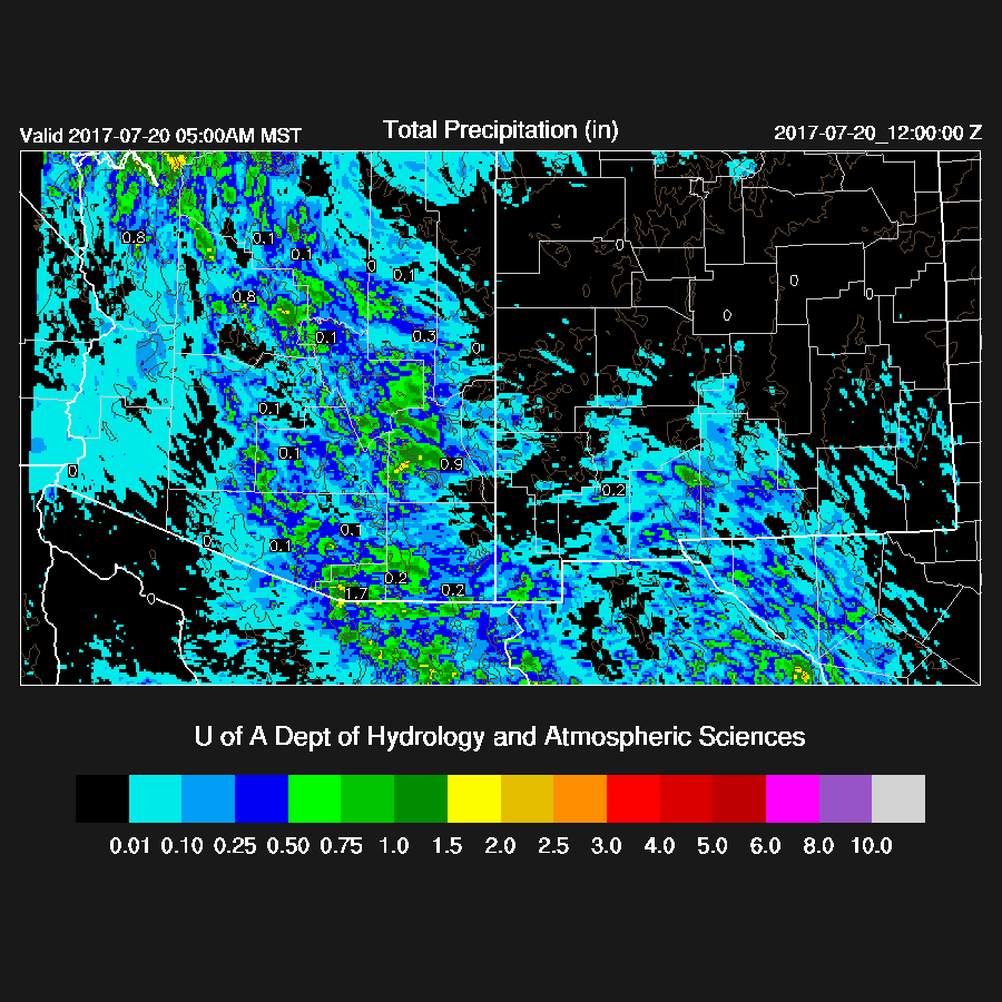
None of the runs did a particularly good job. The WRFNAM (below) and WRFGFS the better of the three.
Initializations
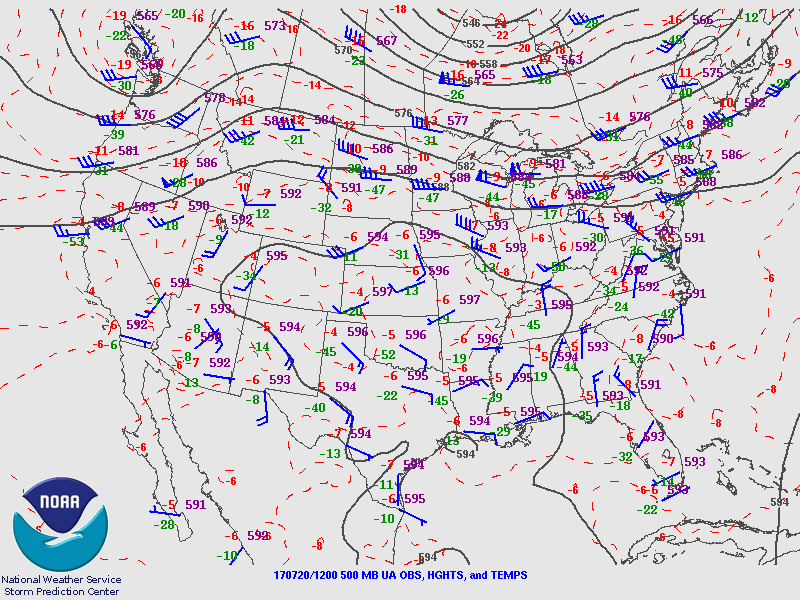
The 500mb high center has shifted far to the east and is over OK/AR. Multiple inverted troughs/MCVs are present over the SW US with one SW south of Douglas, another over far west central NM, and the third over Vegas. None of the initializations had the Sonora IT initialized strong enough and this error could be significant as the trough is moving towards southern Arizona. Some upper air data out of Mexico sure will help. My Mexican contact says “a few more weeks” before Empalme has helium again. There is also an MCV in southern Sonora which did get initialized as well as another around Yuma. This has got to be some sort of record for the number of cyclonic circulations.

The other initialization problem for today will be all the clouds that are present over the state and into Mexico. The RRx has an appropriate amount of cloud cover but they aren’t quite in the right location. The GFS is a bit worse as it doesn’t have enough clouds. The NAM is mostly clear in SE Arizona and far NE Sonora, which is in error. IPW initialization errors are small in all three initializations. It’s going to be a difficult day due to the complexity present thus model confidence is low. The WRFRR and WRFGFS look like the favorites.

The other initialization problem for today will be all the clouds that are present over the state and into Mexico. The RRx has an appropriate amount of cloud cover but they aren’t quite in the right location. The GFS is a bit worse as it doesn’t have enough clouds. The NAM is mostly clear in SE Arizona and far NE Sonora, which is in error. IPW initialization errors are small in all three initializations. It’s going to be a difficult day due to the complexity present thus model confidence is low. The WRFRR and WRFGFS look like the favorites.
Day 1
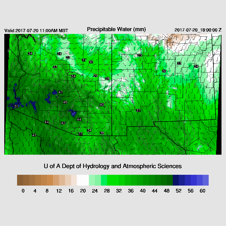
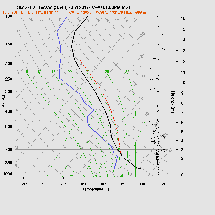
Very wet air continues over Arizona with about the same amount of moisture around as yesterday.
The key to the forecast is going to be the amount of cloud cover and associated heating and so far the WRFRR seems to be fairly close. , Also note that there was a GFS upgrade yesterday and this has caused some issues with surface temperatures near coastlines and may impact other parts of the WRFGFS forecast. I’ll try and fix this in a day or two. Low to moderate CAPE is present mainly over the eastern ½ of Arizona thus that will be the favored location today.

Steering flow is mainly light thus storms will mainly be over the higher terrain.

Tucson vertical winds are mainly light and variable thus storms will be unlikely to move much. However, the BL is mixed well and quite a bit of CAPE exists which is similar to yesterday thus a strong storm or two may pop up this afternoon in the valley.
Much of eastern Arizona is quite active during the afternoon with storms producing lots of rain and some localized high winds due to wet microbursts.

Storms develop to the west by late afternoon and mainly remain over higher terrain.

There is a fair amount of model variability with respect to the amount of CAPE over Phoenix by late afternoon. The middle of the road says only around 3-500 J/kg with some quite warm air aloft from 500 to 400mb thus it seems unlikely for any activity at lower elevations except for maybe an outflow from nearby activity.

The outlier is the WRFGFS as it becomes active around the Phoenix area early this evening. It’s unlikely, but I can’t rule it out.
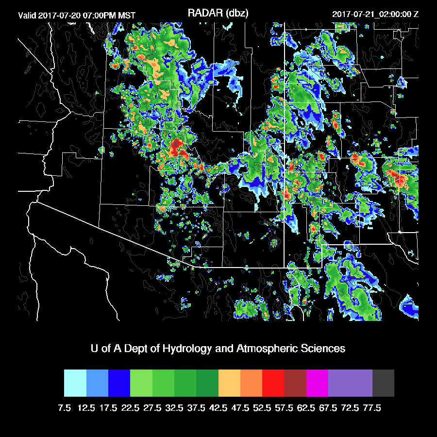
Later in the evening, some activity persists over SE Arizona and far western NM. This has been the case the past few night over SE and eastern Arizona.

Day 2
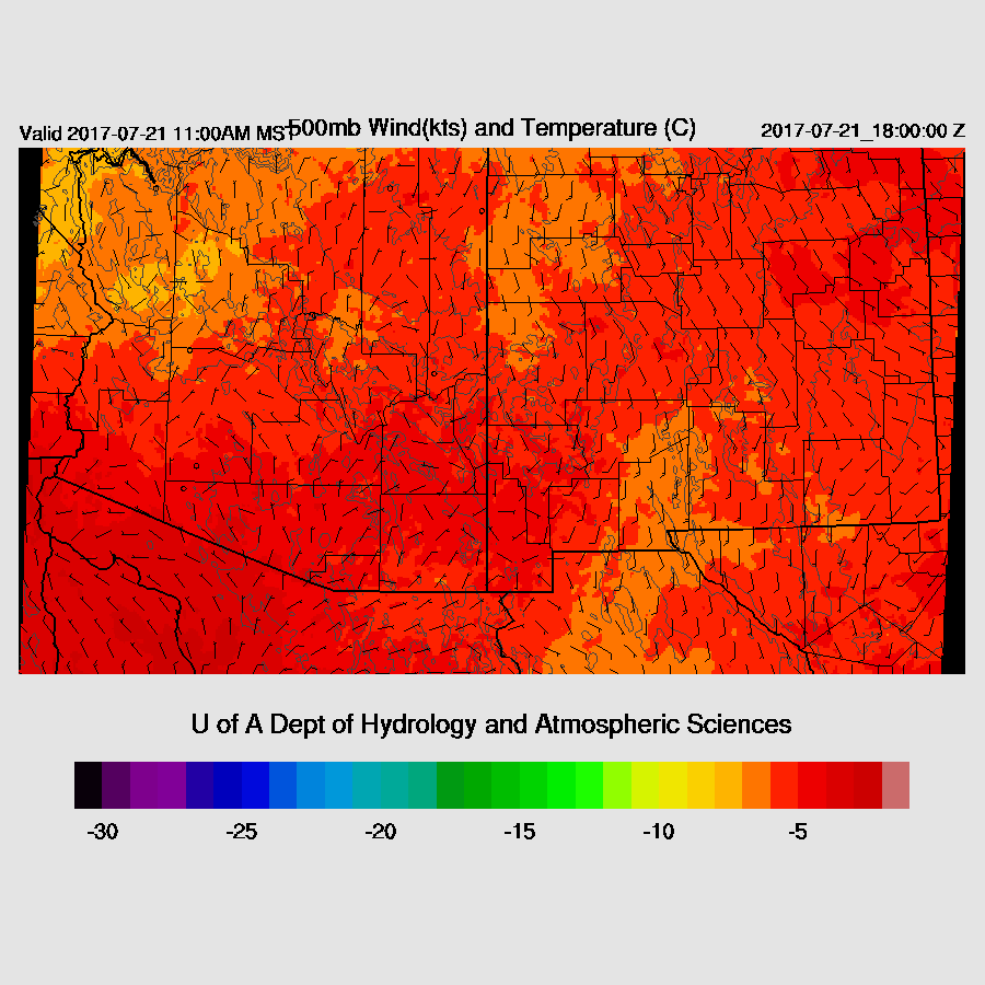
The Sonora IT moves slowly north and is somewhere over eastern Arizona during the day tomorrow. Steering flow remains weak and 500mb temperatures continue to be warm at around -4 to -5C thus no widespread storms are expected.
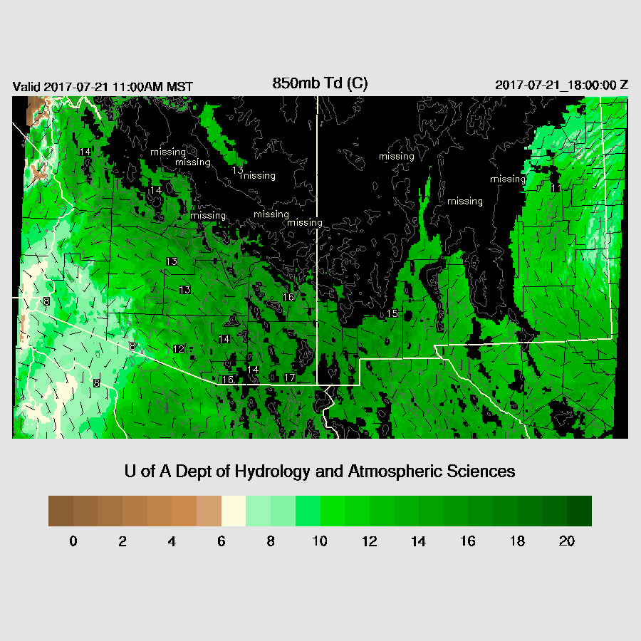
Some drying continues over far western Arizona while the eastern part of the state remains very wet.
An active day for areas north and east of Phoenix, again. It appears the Phoenix and Tucson area will have minimal activity tomorrow and the general forecast confidence for day 2 is low.

No comments:
Post a Comment
Note: Only a member of this blog may post a comment.