Previous Forecast
It was an active day for most of the state except for the areas that had morning clouds and showers; Tucson to Phoenix. Some areas had heavy rain and flash flooding, like Miami, Arizona. Also, a squall line moved across northern Arizona accompanied by a haboob, again!
Model accuracy was good concerning timing and locations, but precipitation amounts weren't high enough. It pains me to write this, but the WRFNAM had one of the better runs as it had a fairly accurate initialization.
The 500mb anticyclone has shifted to the southeast and is now over Oklahoma, resulting in favorable east to southeasterly steering for much of the state. Temperatures remain favorable at around -6 to -8C. The IT is located over Chihuahua, moving slowly to the northwest, and is likely responsible for the ongoing deep convection in western Sonora.
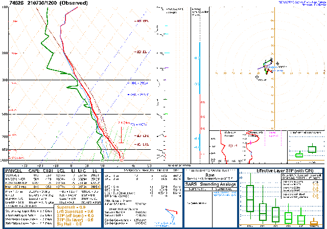
At 300mb, the IT location has put much of Arizona and Sonora under favorable divergence/difluence areas. Moisture has increased over central and western Arizona as Phoenix now has 45mm of PW. Phoenix also has a better-looking vertical profile as MLCAPE is 564 J/kg and has no significant inversions. The wind profile could be better as there is no low-level shear, but mid-level steering is good.
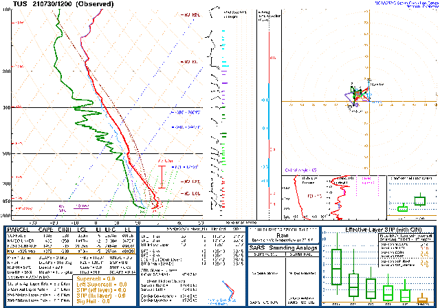
Tucson is somewhat worked over in the lower atmosphere, but MLCAPE is OK, at 435 J/kg. The wind profile is unidirectional, and it appears, some drier air is advecting in on low-level southeasterly flow, similar to what the forecasts were calling for yesterday. So, a mixed bag here.
Initializations
It's more straightforward than yesterday, fortunately, as it's mostly clear over the eastern 2/3rds of the state.
Humm, is it going to be 2 in a row for the NAM? It had the best initialization of clouds and the MCS in Sonora, both at 6 and 12Z. They all had a mid-level IT/MCV associated with the Sonoran storms. The RR has also initialized clouds well but missed the MCS in Sonora. The 6Z NAM PW initialization was not very good, but the rest were mainly accurate. The 6Z GFS is missing. I'd bet on the 12Z WRFNAM and WRFRR today.
Day 1
The IT gets sheared out and moves northward during the day but continues to provide favorable weak upper divergence over the state.
As noted from the Tucson upper-air data, low-level easterlies have made it as far west as Tucson at 12Z. This dividing line is still north-south of a line centered in eastern Pima/Pinal Counties by early afternoon. Dry air has also moved into the rest of eastern Arizona too. A weak surge is underway this morning but weakens by afternoon. Very moist air is present in western Arizona by this time.
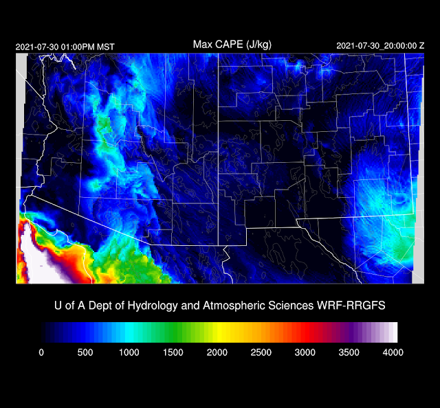
CAPE is minimal except for a band that goes through central Arizona. I'd expect limited activity on either side of the line.
Between the drying over eastern Arizona and the old rule that a down day followed an active day, not much is happening by mid-afternoon despite the somewhat favorable upper-air situation.
Activity does begin to pick up by late afternoon to the west of the dryline, and most runs agree that southcentral Arizona and areas around Flagstaff will have storms.
Phoenix looks favorable for storms this evening as CAPE is over 1000 J/kg, low-level shear, and moderate mid-level southeasterly steering flow is present. The PBL is also mixed well, and nearly to the LFC, around 700mb from the morning sounding.
Most runs develop storms for the Phoenix area this evening, with a few being potentially severe due to winds from wet microbursts. Activity decreases into the late-night hours.
Day 2
I don't have many model runs to rely on as there were cascading failures that caused many to run short. It continues to be quite moist for central Arizona, and moisture increases over southeastern Arizona despite weak easterlies, as moisture has also increased over southwestern NM.
CAPE has also increased and is moderate to high for most of the state except for far eastern Arizona.
Storms get off to a slow start and are mainly restricted to the higher elevations.
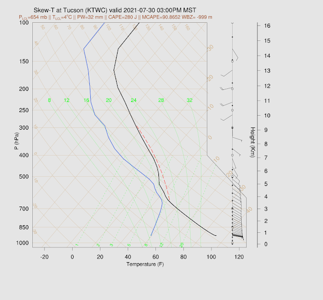
Uh oh. As the IT moves away, mid and upper winds become westerly, and temperatures increase. This results in a nasty inversion at around 500mb.
This results in little or no activity for the lower deserts.


No comments:
Post a Comment
Note: Only a member of this blog may post a comment.