Previous Forecast
The model runs were generally accurate, with precipitation mainly in southern Arizona. However, no runs predicted the evening activity in Yuma county last night. The 9Z (not shown) and 12Z WRFRR were the most accurate.
Discussion
The 500mb anticyclone is still center quite far from Arizona, over South Dakota, resulting in mainly southeasterly flow over the state. Temperatures remain fairly cool at -6 to -8C. A weak IT is over southern Arizona as Tucson winds are from the SSW. Another closed mid to upper-level low is located over southern Texas, which is forecast to move towards Arizona over the next few days. The TWC office calls it an "easterly wave," which isn't correct, as Bob Maddox mentioned in his blog yesterday.
"Bit of
commentary - forecast discussions from NWS Tucson have been referring
to this feature as an "easterly wave." Such waves have their strongest winds in low levels - certainly not the situation with this upper low.
Brownsville sounding this morning shows the strongest winds with the low are up around 250 mb, so it's definitely not an easterly wave.
There is a departing mid-level wave/MCV over far SW Arizona.
The 300mb plot shows the IT (or TUTT?) dominating the winds over northern Mexico.
Moisture has continued to decrease over the state as Tucson is down to 32mm. The air mass is considerably worked over with dry air present in the residual boundary layer above the modified near-surface layer. MLCAPE is minimal at around 200 J/kg.
Phoenix looks a lot better as there are minimal inversions, 39mm of PW, and 660 J/kg of MLCAPE. The vertical wind profile isn't all that great as mid-level winds are weak, and upper winds are quite strong and will move anvils way out ahead of storms, resulting in shading and weak downward vertical velocities.
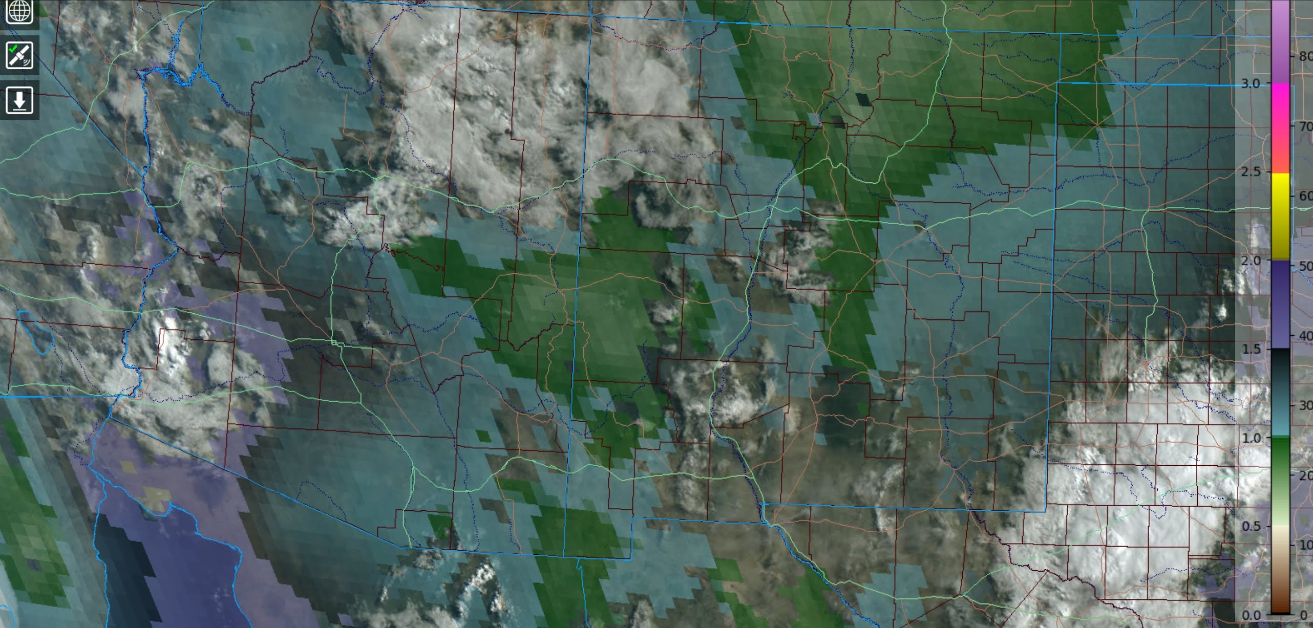
InitializationsIt's mostly clear across much of the state. The GOES PW shows the drier air has moved into far eastern Arizona. Cloud initialization was fairly accurate by most runs except the 6Z NAM, which was too cloudy. PW was also initialized fairly well, except for the 6Z NAM.
Day 1
Moisture continues to slowly decrease today. The 850mb dew points are a marginal 8-11C.
CAPE isn't very favorable, but it's sufficient to support some afternoon storms for the higher terrain of the state.
Let's check-in at 250mb to see how the IT is progressing. It's still not in the outer domain, but its
influence can be seen as a weak area of influence is over NW Mexico, along with a weak upper jet near the Big Bend.

Scattered thunderstorms develop over eastern Arizona during the afternoon hours and generally move to the WNW. Storms are knocking on Tucson's door by late afternoon.
Maybe, maybe not. Tucson does recover somewhat by late afternoon as CAPE may be as high as 700 J/kg. The low-level shear is also pretty good, as is steering flow. Anvil shading may still be a problem, though.
Most runs do not move storms into Tucson. Instead, which is typical, they stay over the higher terrain of eastern Pima County. Scattered showers and storms continue in far SE Arizona (for some reason) into the evening hours.
While Phoenix has some moisture and CAPE, multiple inversions prevent any deep convection unless significant outflow boundaries move through, which is very unlikely.
Day 2
The IT moves to a location over southern Chihuahua by tomorrow, placing much of eastern Arizona in favorable upper-level divergence/difluence. A weak jet streak is over southern NM.
There is an open wave at 500mb, along with cool air, around -10C. Steering flow in Arizona is mainly easterly.
Moisture is mostly the same, with 35-40mm of PW over the lower elevations. Low-level easterly flow out of NM is again impacting far southeastern Arizona.
The other improvement over today, besides the upper-level support, is that CAPE is better with 500 to as much as 1500 J/kg.
By afternoon, there is a lot more activity compared to today.

It looks like Phoenix has a good chance of early evening activity. Steering and shear are favorable, along with a deeply mixed PBL. CAPE isn't great, but 1000 J/kg should be sufficient.
There isn't much agreement between runs for Phoenix as some have a lot of activity, and some have only a little. The middle of the road is the WRFGFS.
The more active 9Z WRFRR has a nice haboob forecast for central Arizona and severe winds.


No comments:
Post a Comment
Note: Only a member of this blog may post a comment.