Friday, July 31, 2020

20200731

Discussion
As I said on Twitter yesterday, it is always difficult to forecast more than a few days in advance during the monsoon season.   When I wrote the last discussion on the 28th, it looked like it was going to be at least a week before significant moisture returned.  However, I did see that very moist and high CAPE lurked just across the border for the entire period, with brief intrusions.  It turns out that this airmass will move farther into Arizona and give southeastern Arizona a risk of strong to severe storms over the next few days.  Surface dewpoints have increased over far southern and southwestern Arizona as Yuma is now 74F, and Nogales is 66F.  So far, this moisture is shallow, as GPSIPW has barely moved up, but very moist air is present just to the south.

The 500mb pattern has the strong 500mb anticyclone centered over eastern Arizona, with mainly light east to southeast winds over the state.  Slightly cooler 500mb air is over Arizona and NW Mexico as temperates range from -6 to -8C.  Cooler air is advecting into NM on northerly flow and a weak jet streak.


Surface high temperatures are again predicted to be near records, this is going to result in some steep lapse rates in the lower 1/2 of the atmosphere.  At Phoenix, the old PBL goes all the way to just above 500mb!  Westerlies continue to be strong in the upper atmosphere, as they have been all summer.
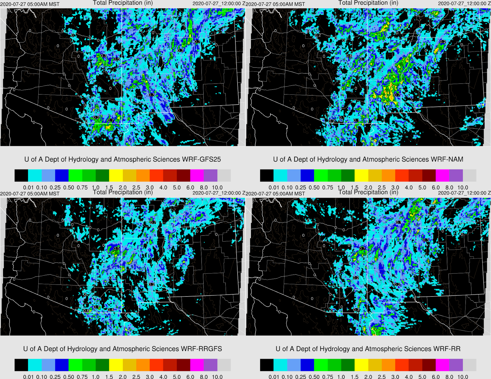
Initializations
It is a straightforward situation as it's mainly clear over the state and without any significant cyclonic circulations.  PW initialization was the best by the 12Z RR, followed by the 6Z GFS.  The 6Z NAM was a bit too wet in NM and Sonora, but not too bad.  The 12Z NAM isn't too bad over Arizona, but is somewhat too wet in Mexico.  The favorites are the RR and GFS.

Day 1
It is shaping up to be an exciting couple of days, at least for southeastern Arizona.  Moisture continues to advect into much of southeastern Arizona today from both Sonora and from southern NM.  Early afternoon 850mb dewpoint temperatures are as high as 14C over far southern Arizona.  The surge is very shallow out in western Arizona as the moisture barely even registers at 850mb.

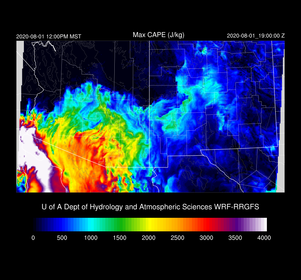
CAPE also increases and is quite high along the border.   Much of NM also has moderate to high CAPE and is primed for a big day.  DCAPE is large as ABQ has 1400 J/kg, and EPZ has 1800 J/kg!

Far SE Arizona is right on the boundary of the high CAPE air, and the 6Z runs have the boundary a bit farther west and north and perhaps sufficient for some later activity.

The Nogales forecast Skew-T is quite impressive as there is a lot of CAPE, and steering flow and shear are excellent. Thus I'd say that some strong storms look likely for the border areas of southeastern Arizona this evening.


WRF develops some strong/severe storms just along the border by late afternoon while severe storms, with supercell characteristics, develop over northern and eastern NM.  I don't usually mention NM, but what happens there is important for southeastern Arizona's future.


Eventually, the NM storms develop into a broad squall line that moves all the way into southern NM and west Texas after midnight.

As DCAPE is very high, thunderstorm outflows are strong and cover a wide area.  

There is some threat of storms developing during the early morning hours over southeastern Arizona due to the convergence provided by the outflow boundary.


Just for fun, here's Yuma's evening Skew-T forecast plot.  CAPE is about as large as it gets here in Arizona, but the moist layer is shallow and capped.

Day 2
The strong outflow continues to move across New Mexico and, by 12Z, is entering far southeastern Arizona resulting in an increase in moisture.  Also, moist advection continues from northern Sonora.

Hold on to your hats! 

Let's look a little closer at the Tucson forecast Skew-T plot.  Yes, there is an enormous amount of CAPE.  There is also a significant cap at the top of the mixed layer and a strong subsistence inversion at 400mb.  The cap is the real problem, and it's going to be hard to break through it.

By late afternoon at Nogales (and elsewhere at higher elevations of SE Arizona), the PBL is mixed to the LCL and is close to breaking the cap.  The wind profile is excellent with good mid-level NE flow, lower level shear, and light upper winds.  This is one of the most favorable situations for severe storms that I've ever seen in Arizona.

It takes a while for storms do get going, but by late afternoon, intense storms are underway over the higher elevations. Once they get going though, they expand rapidly and quickly become severe.

They generally move to the southwest and remain in Santa Cruz and southern Cochise Counties.  It's uncertain exactly where and when this far in advance and I'll have a better idea tomorrow.

As the sub cloud layer is relatively shallow, outflow boundaries aren't as strong as they were in NM the previous day.  Are they strong enough to trigger additional convection to the north?  Maybe.

Tucson is mixed a bit deeper by this time, and the cap has weakened, so storms could form as the outflow moves through, especially as it's coming in 180 degrees to the low-level flow. Thus low-level convergence is optimal.

The 12Z WRFRR does manage to trigger a few thunderstorms in and around Tucson.  Other storms continue over parts of southeastern Arizona.


Tuesday, July 28, 2020

20200728

Previous Forecast
Thunderstorms were restricted to the higher terrain of the eastern 1/2 of the state, with some areas of heavy rain.  Tucson had storms all around and only brief showers managed to form when the outflows moved through.  The early morning activity mentioned yesterday did not materialize.   Later WRF runs backed off on this possibility.


The WRFNAM was the best run as it had the most activity.  I guess a broken clock can be right every now and then.  I did find a problem with the GPSIPW correction routine where it wasn't always being applied, so forecasts going forward should be a bit more accurate.

Discussion
More of the same.  Light and variable mid-level flow and warm air at 500mb, -4 to -6C around the southwest.  Northern Mexico is worse due to the warm core tropical cyclone remnants.  
Tucson has one of it's better-looking soundings in a little while as there is some 10 knot easterly steering flow, 500 J/kg of MLCAPE, and only one weak inversion at 400mb.  Just based on this, I'd say a bit more activity today/tonight.  Monsoon's "swan song"?  I always wondered where this saying came from. From Wikipedia: "The phrase refers to an ancient belief that swans sing a beautiful song just before their death, having been silent (or alternatively, not so musical) during most of their lifetime."
Initializations
It's a straightforward situation as no inverted troughs were seen and the few clouds that were present are dissipating.  As has been typical, the NAM is too wet over eastern Arizona and all of NM.  As the PW correction routine is working better now, errors will be reduced.  

Day 1
It is still moderately moist over the eastern 1/2 of Arizona as dew-points are in the low 60's and PW is in the mid 30mm range.  By mid-day, a higher band of moisture is present mostly north-south over central Arizona.  Very dry air is to the west, and drier air is moving in from the east out of southern NM.    There is weak low-level convergence in the vicinity of this band and might help with the development of storms.  

There appears to be sufficient CAPE over the east central mountains to support storms.  With the weak steering, they might be able to move off into lower elevations of Pima and Pinal Counties where some areas of moderate CAPE are forecast to be present.

Well, it's better than nothing.  

A few storms might drift into the lower elevations.

Day 2
Dry air advection is in place over all of Arizona and NM as the 500mb ridge builds over the state.  It is shocking to see that the long-range WRFGFS forecasts no activity at all for the next 7 days.  There are occasional intrusions of moisture into far southern Arizona, but not enough to support any activity.  Needless to say, this is the last discussion until significant activity returns.

7-day forecast.  Unbelievable, right at the climatological peak of the monsoon.


Monday, July 27, 2020

20200727

Previous Forecast
Scattered storms were present over mainly far eastern Arizona and a few over the Rim.  New Mexico was very active, lucky dogs.

The model runs had activity near/in Tucson, which wasn't the case as storms remained just to the east. 

Discussion
The 500mb pattern has finally begun to change as a ridge builds over the western CONUS.  A weak trough is still present over California, which keeps generally light southerly flow over Arizona.  500mb temperatures continue to be abnormally warm with -3 to -6C over the southwest. 
The unfavorable and atypical southwesterly flow above 500mb continues over Arizona.
Moisture has generally increased over the eastern 1/2 of the state, and dew-points are as high as the mid-60's over southeastern Arizona.  The Tucson Skew-T even shows a little MLCAPE of around 450 J/kg.  The wind profile continues to be bad with light and variable flow below 500mb and dry and warm southwesterlies above.  CAPE is sufficient to support some weak storms for the Tucson region and the rest of SE Arizona later today.  DCAPE is moderately high at around 1200 J/kg, so some storms will produce strong outflow boundaries.


Initializations
It is a quiet morning with only a moderate amount of clouds over southeastern Arizona.  All initializations did well.  The NAM PW is too high over parts of southern Arizona, but I've seen worse.  The GFS and RR initialized well.  No small scale inverted troughs or MCV's were noted, and none were initialized. 

Day 1
Low-level southeasterly flow advects moisture all the way into central Arizona today.  However, drying was noted in NM and was once moist advection, is now dry advection through the "Chiricahua Gap" into far SE Arizona.  850mb dew-points are sufficient to support some activity west of there.

CAPE is mainly below 1000 J/kg so don't expect too much from storms today. 

Storms mainly develop over the higher terrain of eastern Pima and Pinal Counties this afternoon.

 CAPE increases around the Tucson area and is around 1000 J/kg by mid-afternoon.   The wind profile is still terrible, so storms mostly stick to the higher terrain.  Outflow boundaries move through the valley and could be strong enough to kick off some lower elevation activity.

A few storms continue over the higher elevations into the early evening.

What is somewhat surprising to me, is that most runs redevelop scattered showers and a few storms over southern Arizona during the early morning hours.  I've not looked into why except there continues to be 3-500 J/kg of CAPE present.

Day 2
The big dry out has begun, and moisture levels decrease.  850mb dew-point temperatures are at best, marginal for storms over only eastern Arizona.
Nevertheless, some runs do have it fairly active just east of Phoenix and around Tucson by late in the day.


Sunday, July 26, 2020

20200726

Discussion
This will be an abbreviated version today.  Initially, I thought I was off the hook for a discussion, but as so frequently happens during the monsoon season, the situation has changed, at least for southeastern Arizona. 

Generally, the longwave pattern remains the same with an intense anti-cyclone dominating much of the country.  500mb temperatures continue to increase, and I see a -2C over Texas this morning.  It's bad news for the southwest and into Mexico too, at 500mb temperatures are now -5 to -3C.  A weak trough continues at 500mb over the west coast resulting in mainly southerly steering flow at a somewhat favorable 10-15 knots. 
One way I like to define the peak of monsoon season is the presence of an easterly component to the winds above 500mb.  As seen below,  the center of the 300mb anti-cyclone is way over in Texas, and Arizona is under mainly dry southwesterly flow.  This results in dry mid and upper levels, which is often unfavorable as dry air from above is entrained into the mixed layer.

The Phoenix upper air data is extremely dry above 500mb, as well as an inversion due to this warm/dry mid-upper flow.

Tucson is less pronounced as they are right on the edge of the southwesterlies.   Based solely on the sounding, one would think that there will be no activity in SE Arizona today.

Day 1
It turns out that there is one of the occasional cases of moist air advection from southern NM into Arizona, through the so-called "Chiricahua Gap."  This is the lower elevation areas in far SW NM and SE Arizona and clearly seen in the 850mb plot at noon today.  The low-level easterlies over SE Arizona and the drier northwesterly flow will set up a weak area of low-level convergence, which can enhance thunderstorm development.  850mb dew-point temperatures of 12-14C are favorable for storms in SE Arizona while Tucson is right on the boundary. 

The model runs vary on the timing of the wetter and more unstable air as the WRFGFS has it in place by mid-day.  The WRFRR does by late afternoon.  Hopefully, later runs will able to shed some more light on this.  In any case, both have quite a bit of CAPE present, as high as 1500 J/kg.

Scattered deep convection initiates over the high terrain of far eastern and southeastern Arizona by later in the afternoon.

By early evening, southern Arizona storms develop/move westward towards eastern Pima County. 

Tucson has around 3-400 J/kg of CAPE by this time.  Will this be enough to support storms over the lower elevations?  The warm/dry layer at 400mb could be a problem. Note that one of the CAPE calculations is off and too high. 

The WRFRR moves storms into eastern Pima County with only weak activity over Tucson.

It looks like a strong outflow boundary moves through Tucson this evening, and a storm or two might form.

Day 2
CAPE is quite high over SE Arizona, so there is a risk of afternoon thunderstorms.

There is a strong inversion above 500mb, so despite a fair amount of CAPE, deep convection may be limited.  Westerlies are dominating the vertical profile.

Only scattered and relatively weak storms are present during the afternoon and early evening.

Another issue is that moist air advection is replaced by weak, dry air advection over SE Arizona.  The lame 2020 monsoon continues.  In fact, it looks downright grim in the extended range.