Initializations
Not really much to talk about today, here in the SW, as the 500mb anticyclone continues overhead. However, some significant developments have occured to our north and south. The NW CONUS trough has moved out and a ridge is building in its place. A large IT is located over far southern Chihuahua and is starting to tap the tropical moisture from all the activity to the south.
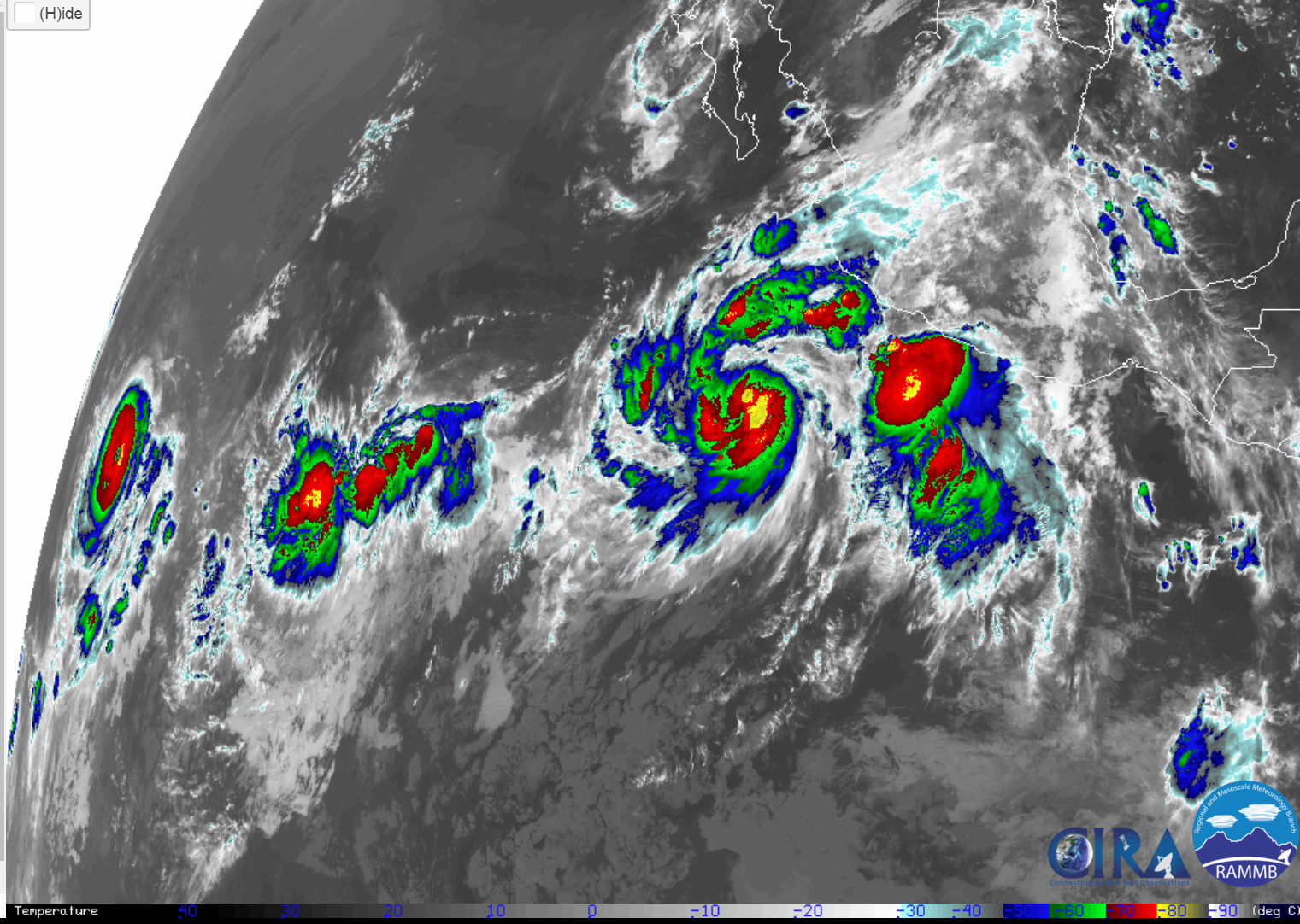
Speaking of tropical activity. Check this out! Four different systems are present and what I found especially interesting is how the global models were once again able to forecast this activity well in advance. It seems like magic sometimes.
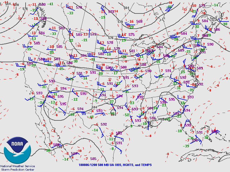
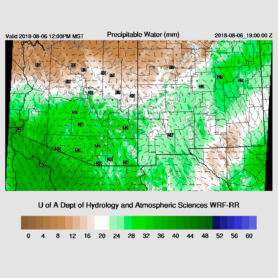
The 12Z RR initialization struggled at 500mb as it was way too warm over southern NM and also had the IT initialized too far east. I’ve waited for all the morning runs to complete before starting the discussion and the other three look much better: the 12Z NAM, 12Z GFS, and the 15Z RR. PW was also initialized well by all, including the NAM. The NAM still seems to have a slight wet bias but it’s much smaller than earlier in the summer. All of the runs should perform well except the 12Z WRFRR.
Day 1
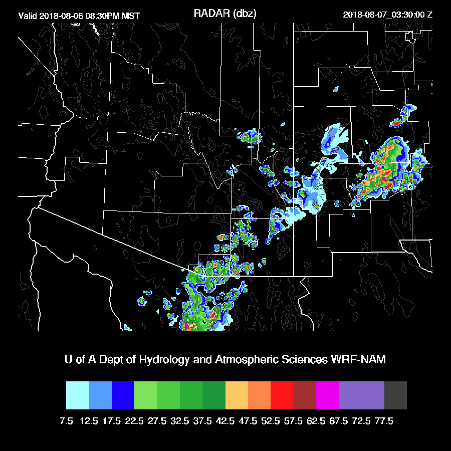
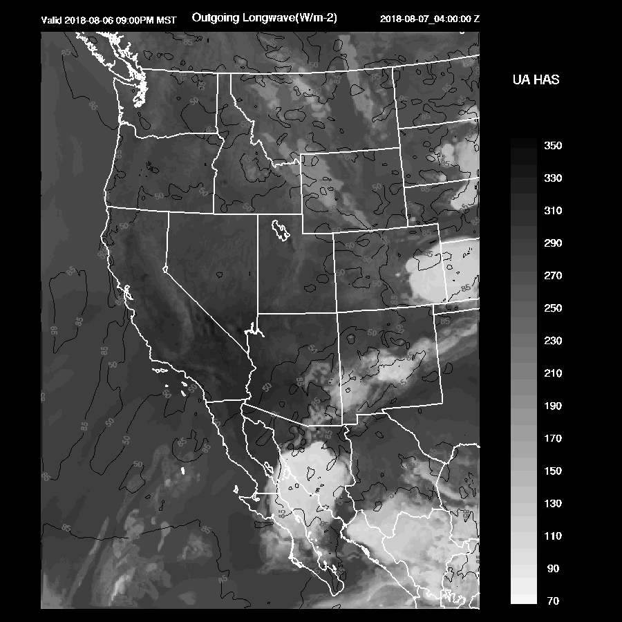
Our weather data ingest machine went down around 0Z until around 13Z so overnight runs and weather data are missing. Morning PW has remained mainly the same from yesterday except for a noticeable increase at Yuma over the past few hours. Surface data indicates a surge has begun over SW Arizona this morning as Td has jumped to the mid 70’s. Weak moist advection into the state continues through the day as the weak surge continues. Dry easterly flow continues in NM and perhaps sets up a backdoor dryline/convergence zone over SE Arizona.
CAPE may be sufficient to support storms over the White mountains and into SE Arizona and activity will probably be similar to yesterday.

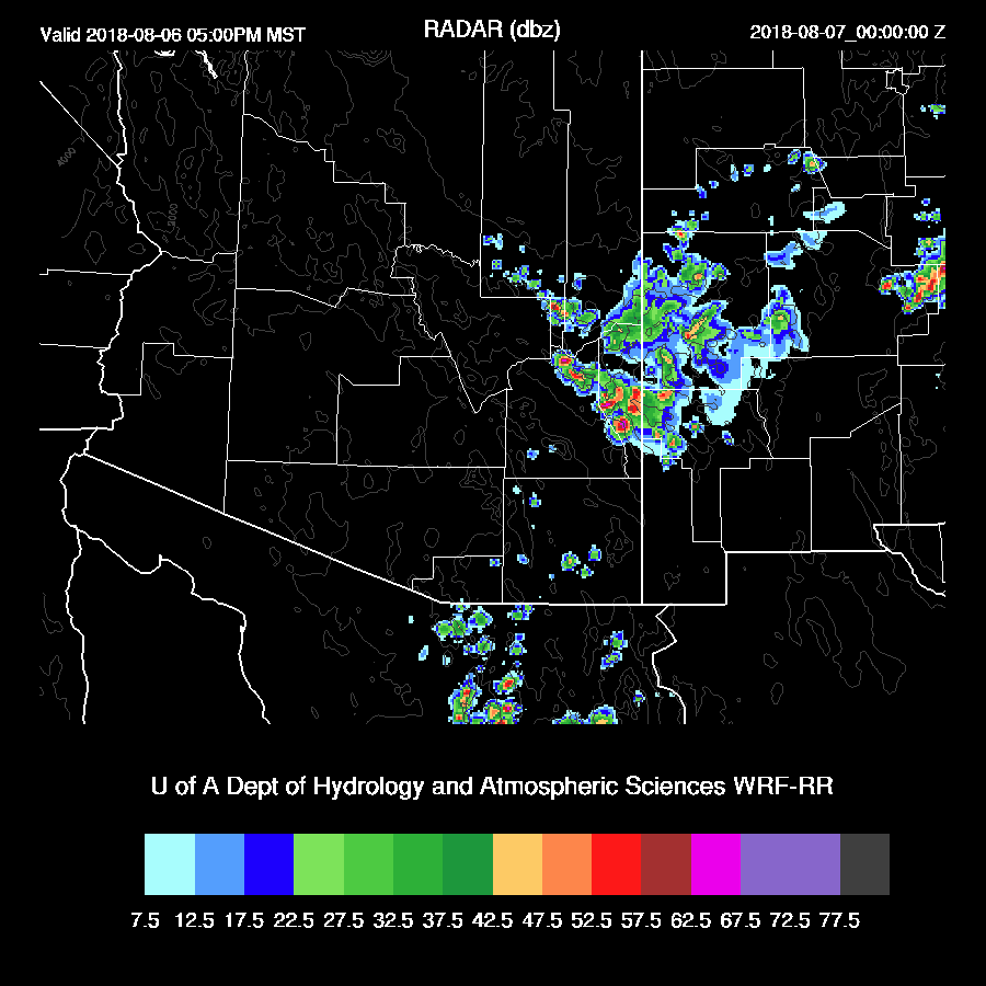
Storms try to move into the lower elevations of far SE Arizona by early evening. The different runs have various solutions with some fairly active and some not. The middle of the road is the WRFNAM which has even a few weak storms into eastern Pima during the evening.
Overnight, all the runs develop a big MCS over southern Sonora forced by the IT currently in that area.
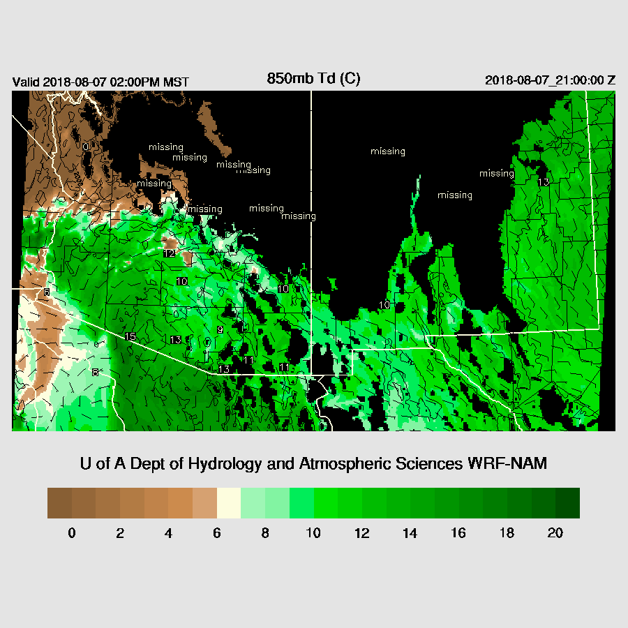
This blasts a big outflow surge up the GofC into Arizona overnight and results in increasing afternoon 850mb dew-point temperatures into the much more favorable 10-15C range. Again, a low-level convergence zone sets up in eastern Cochise and to the north and south.
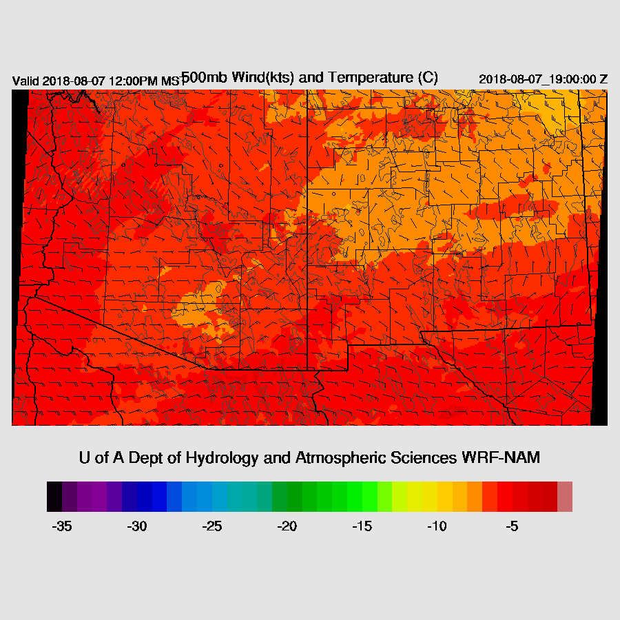
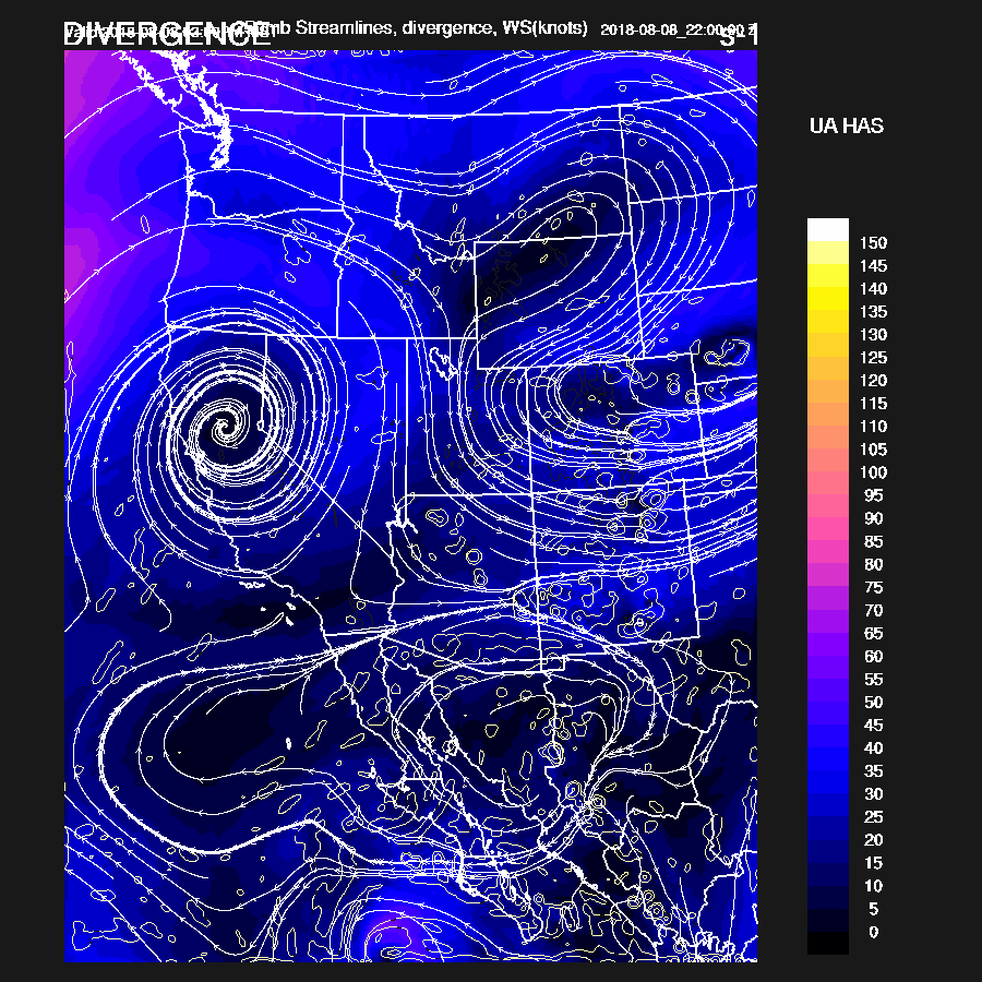
The 500mb high center is located somewhere from eastern Arizona into NM and a broad inverted trough is located over northern Sonora. This places much of southern Arizona in light easterly steering flow.
CAPE is moderate to high over much of the southern ½ of the state with extreme amounts over far SW AZ. Off the chart!

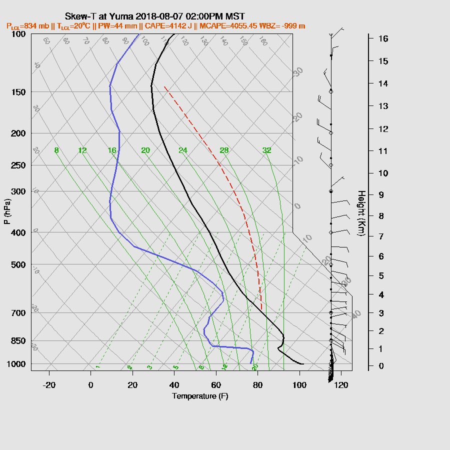
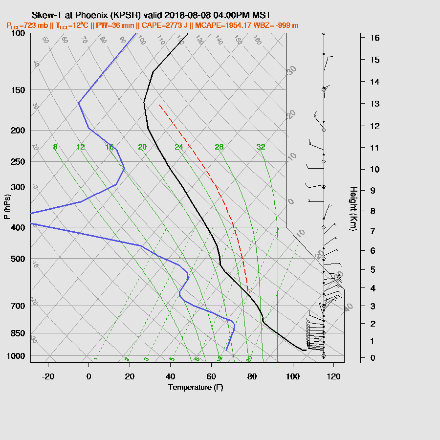
Just for fun, here’s the Yuma forecast Skew-T. Over 4000 J/kg of CAPE but good luck getting deep convection.
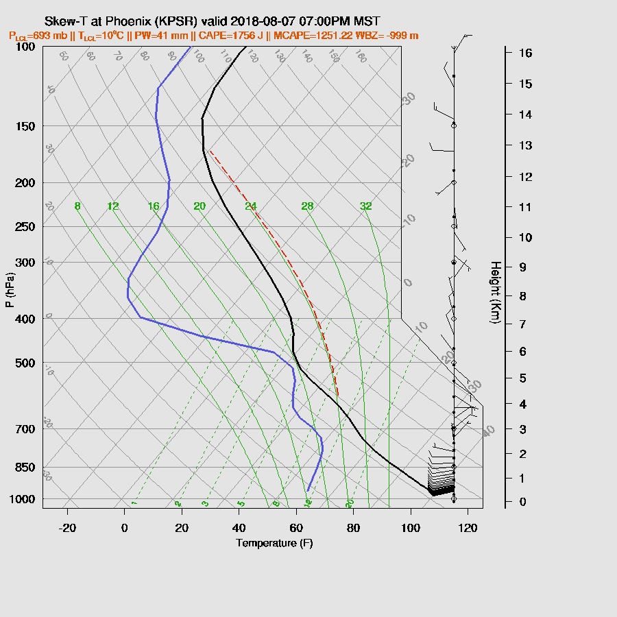
What about the rest of the state? Tucson looks very good as the PBL is mixed deeply with only a slight inversion at the top of the mixed layer. CAPE is good. So is the vertical wind profile as there is good low-level shear, some weak mid-level steering, and northwesterly upper winds to steer anvils away.

There is excellent model agreement in developing very strong/severe storms over the high terrain of SE Arizona then moving it towards the lower elevations by late afternoon or early evening. With the deeply mixed PBL/inverted V profile, severe winds are possible with some storms.

Strong to isolated severe storms are expected for the Tucson area by late afternoon.

Multiple outflow boundaries move into western Pinal County during the evening and are sufficient to trigger a few storms there.

It doesn’t appear that the outflows will be sufficient to trigger deep convection in the Phoenix area but the potential for deep convection is there as the PBL is mixed fairly deeply and plenty of CAPE is available.
On the other hand, if deep convection to the north through east of Phoenix can generate outflows, intersecting outflow boundaries should be able to trigger deep convection in the valley much like is depicted in the 15Z WRFRR. This is a low confidence forecast as it’s the only one that has deep convection north of Phoenix.
Day 3
Now it gets really interesting! I’m not going to forecast any specifics this far out but just mention the large-scale features. The hurricane makes its appearance in the outer domains by Wednesday and is in a good location to trigger a Gulf Surge.

Of almost equal interest is the building ridge over the NW CONUS which allows shortwaves to dig down and move under the high amplitude ridge bringing both vorticity and cooler mid-level temperatures.
CAPE is again very high but the lower deserts are likely to be strongly capped.
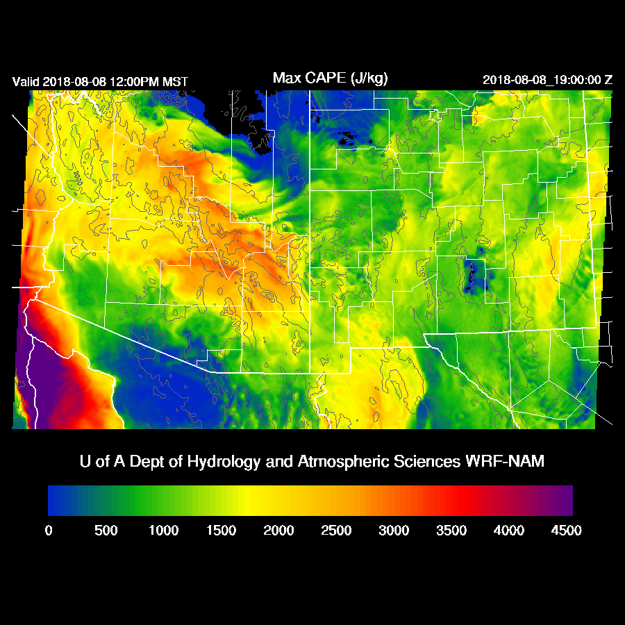
The potential for big storms is there for the lower deserts as CAPE is high and steering is light easterly. Some good low-level convergence will be needed though.
No comments:
Post a Comment
Note: Only a member of this blog may post a comment.