Previous Forecast
Finally, some action in my neck of the woods. Another huge MCS developed over northern Sonora and even managed to nose into far southeastern Arizona. Art Douglas reports from Ash Canyon, south of Sierra Vista, 15 minutes of clear bean-sized hail and 2.54" of rain.
WRF runs were all on the same page and forecast the MCS well. The only negative was precipitation amounts were not high enough, but we already knew that would be the case. Note that the two runs with Milbrandt-Yau MP did have heavier precipitation. (GFS/HRRR)
Discussion
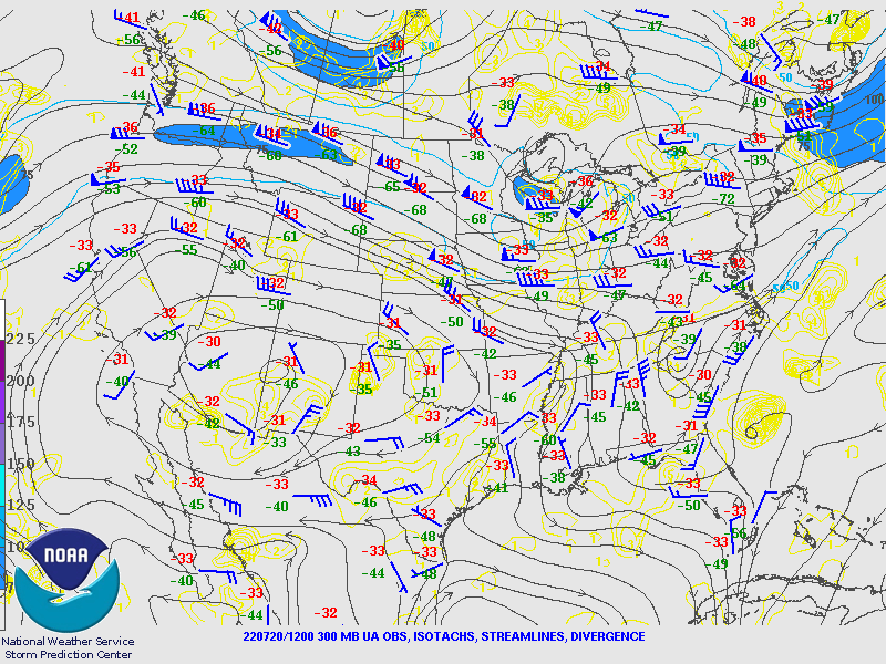
Oof-da! The 500mb anticyclone continues to slowly strengthen as many stations are reporting 5970m this morning. Despite the high heights, temperatures haven't become extreme and are still around -6 to -7C. Another mid to upper-level IT is moving across northern Mexico into Sinaloa but north too far south to impact Arizona. The northern end of the IT might be responsible for the widespread clouds and showers in southwestern NM and far SE Arizona. The MCS continues to move WNE and is over northern Baja.
The MCS has re-enforced the surge, and winds are continuing out of the southeast at Yuma, where the PW has increased to 42mm, and the dewpoint is 70F. PW has also increased around Phoenix, where it is about 40mm. Despite the moisture advection, the CAPE from 12Z is still limited. The wind profile is pretty good as there is a deep layer of NW winds in the lower troposphere and 10-15 knots of SE steering flow. If CAPE can increase, Phoenix could have a shot.
The CAPE is screwed up again at Tucson. I'd estimate it's somewhere around 500 J/kg. The vertical wind profile looks quite good, except upper-level winds are in the same direction as steering, so anvil shading is likely. It's not just the shading but also the weak downward motion under the anvils, inhibiting convection, as shown by the CuPIDO field program. There are lots of interesting articles from the program at the link above.
Initializations
It's quite a challenge today due to the debris clouds and ongoing weak activity. The MCS extent was amazing. Earlier this morning, it looked like a tropical storm with outflow bands.
It's still impressive after sunrise, with an enormous cloud debris extent. Another MCV is clearly seen over the panhandle of Texas. All the initializations, except the 6Z HRRR, had surprisingly accurate initializations of clouds, MCVs, and ongoing activity.
Day 1
The Surge continues throughout the day, resulting in PW remaining about the same. The surface wind field extent is impressive, with NW flow nearly to El Paso!
It's the same story at 850mb. Dewpoint temperatures are a favorable 11-13C for much of southern Arizona.
CAPE is only low to moderate by afternoon. It looks like far southern Arizona is again the favored location for deep convection, as well as areas just south of the Rim and White Mountains. It's interesting to see how the fairly shallow Surge moisture cannot make it over the high terrain into NE Arizona.
I'm surprised to see that the storms which form over the higher terrain of SW NM and far eastern Arizona are having a difficult time moving into the lower elevations. By late afternoon, they are only a few strong storms over far eastern Arizona. The 6Z runs were more aggressive, but even they were struggling. I have s seeking suspicion that the atmosphere is capped due to the multiple large MCSs over the past few nights cooling the lower troposphere.
Read it and weep. All runs are capped to some extent, with the 12Z HRRR being the worst case.
The best case, which looks even too active, is the pre-12Z runs. At least these have deep convection along the border again.
12Z runs have activity south of the border and little or nothing in Arizona. Sad!
It's the same situation in Phoenix as there is lots of CAPE, but the mixed layer is shallow and capped.
It may not be a complete failure, as the strong storms in Mexico (another MCS?) eject an excellent outflow into southern Arizona, which results in a few storms that manage to break the cap.
Day 2
The Surge finally ends, but plenty of moisture remains.
Dry air advection is underway over central and western Arizona, but SE Arizona remains relatively moist.
CAPE is moderate over SE Arizona, so this looks like the only active area for tomorrow. Hopefully, the cap will be weaker or non-existent.
The cap is weaker tomorrow. Hopefully, this will lead to more activity. CAPE is certainly impressive.
Most runs have more activity tomorrow. Recently, the Day ahead forecasts in this complex regime have struggled, so don't bet the farm.
Phoenix looks unfavorable as CAPE is limited, the PBL isn't mixed deep enough, and a weak cap persists.


No comments:
Post a Comment
Note: Only a member of this blog may post a comment.