Previous Day
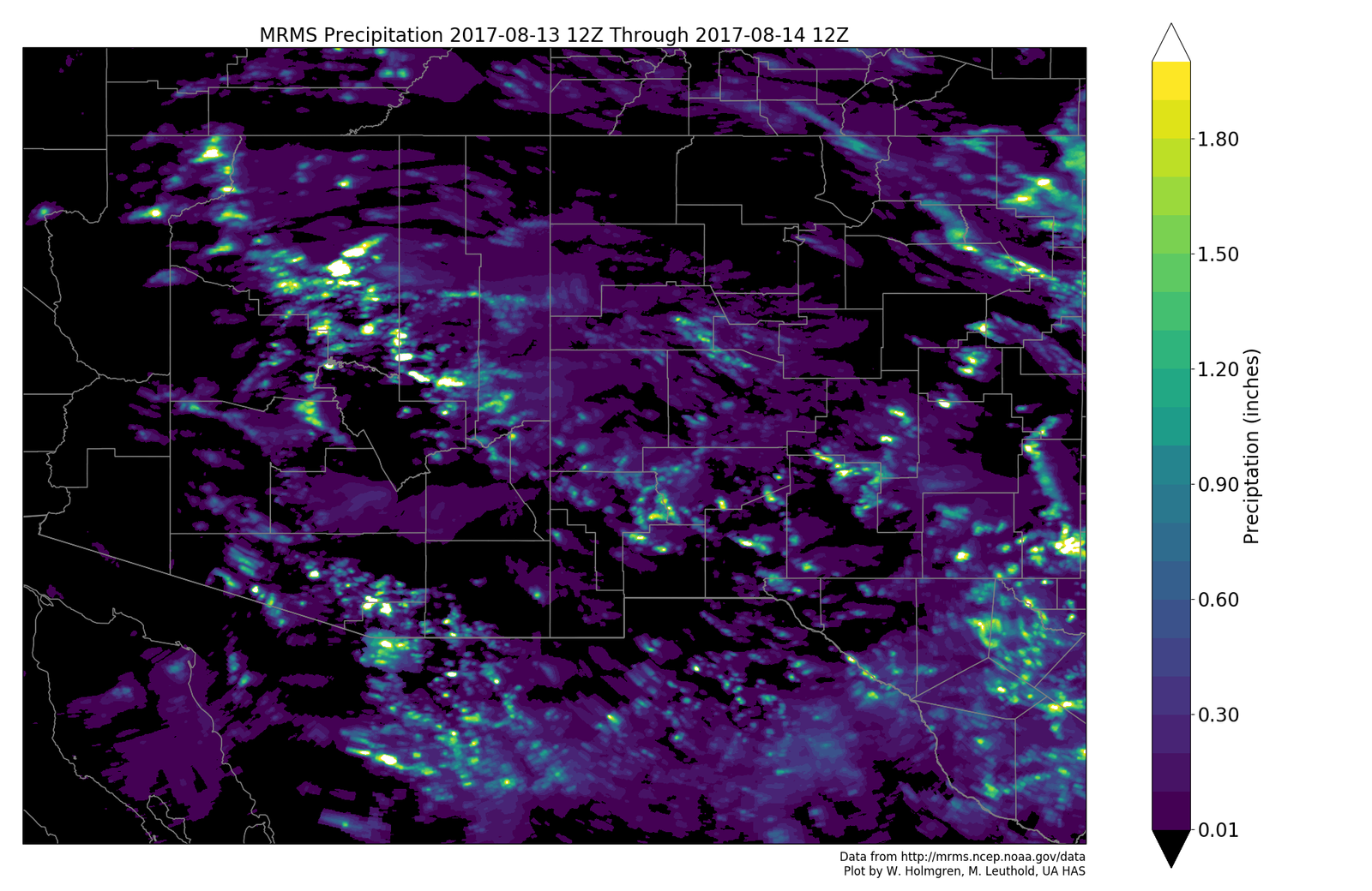
Not much activity occurred over the lower deserts. Higher elevations, especially over and north of the Rim/White Mountains was active with some locations receiving very heavy rain. A few storms formed late at night near the Phoenix area.

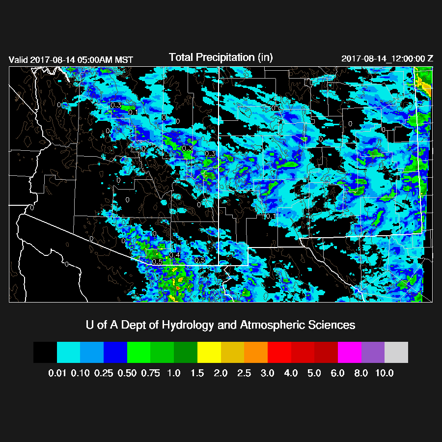
The WRFNAM and the 15Z WRFRRx (below) were the best as the other two runs had too much activity around/in the Tucson area. The WRFRRx also was able to get some of the late night activity near Phoenix.
Initializations
The 500mb map is nearly identical to yesterday and I had to check to make sure it was actually the 14th I was looking at. A blocking pattern continues with the ridge centered in northern Canada and Arizona is in mainly 15 to 20 knot westerlies with a few weak troughs embedded in the flow. It is mostly clear over Arizona and Sonora and all models initialized the simple synoptic/mesoscale situation well. The only (minor) problem is that the RRx and NAM initialized somewhat too wet over Sonora.

Day 1
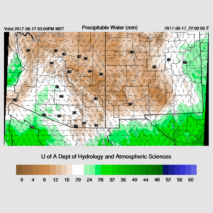
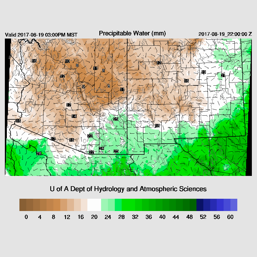
Moisture had gradually decreased over western and central Arizona since yesterday while areas from Tucson eastward are still quite wet. Dry air continues to advect into all parts of the state during the day with very dry air over western Arizona.

This afternoon, far SE Arizona does hold on to enough moisture to support a few storms as 850mb dewpoints remain above 10C.

The White Mountains and eastern Rim also have enough moisture and CAPE to support some deep convection this afternoon.

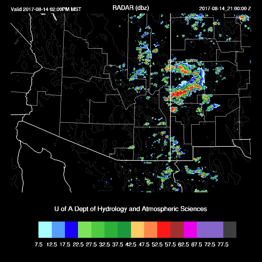
Storms are restricted to far eastern/southeastern Arizona today.

Day 2 (and beyond)
It may be awhile before moisture and this discussion return.


No comments:
Post a Comment
Note: Only a member of this blog may post a comment.