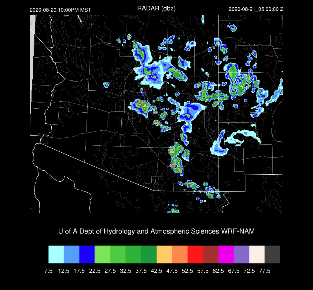
Previous Forecast
Most storm activity was restricted to the higher terrain of the Rim and White Mountains. Strong storms formed over NW Arizona and moved westward to the Colorado River valley. A long-lived area of storms moved from NE Arizona, all the way to the Phoenix area where they weakened but did generate some great lightning.
The WRFGFS and NAM both forecast this event quite well, and generally did a good job overall as they also predicted the northwestern Arizona activity. Again, all runs were not able to forecast the localized heavy rain that fell.
Discussion
The 500mb anticyclone has weakened ever so slightly and the center has moved a little to the south. Arizona is still under moderate easterly flow and temperatures have increased about a degree compared to yesterday. Hurricane Genevieve has made an appearance on the map and is located in a prime location to initiate a significant Gulf Surge and moisture advection into Arizona the next few days.
PW has increased over western Arizona and there are now some areas above 1.5" over far southwestern Arizona. Some CAPE is present over southcentral and southwestern Arizona as well as some over the high terrain.
PW has gone up a little at Tucson as dry advection from the east has stopped, resulting in the first non zero MLCAPE in days. Steering flow is still very good for moving storms from the higher terrain to the lower deserts.
Initializations
It's another straightforward synoptic situation for the initializations. They all look accurate except for the 6ZNAM which was too moist in Arizona and New Mexico, so it won't be used today.
Day 1
By early afternoon, the hurricane is just south of the southern tip of Baja, which results in strong southeasterly winds up the southern Gulf of Californa and weak flow up the rest of the gulf. Eastern and northern Arizona continue to be quite dry while western Arizona is moist. It's extremely moist over southern California and off the coast as this is leftover from the previous tropical system.
CAPE has increased over much of southwestern Arizona and is now quite high. If storms could form, they'd be very strong to severe. CAPE is also moderate over the higher terrain and it's likely to be an active day there. With the favorable steering flow, there is a chance that some storms are going to make it into the lower elevations later today.
Well, this is a bit of a surprise. Only isolated storms form over the higher terrain this afternoon. There must be a cap that is difficult to break, even over the high terrain.
My guess is that dry air at 700mb and above is being entrained into the top of the mixed layer, preventing it from reaching the LFC. The 700mb shows very dry air being advected into northern and central Arizona.
The Phoenix forecast Skew-T has only a shallow mixed layer by early evening. There are no significant inversions present, so if outflows moved in, they could initiate deep convection.
It appears that a weak shortwave trough moves into New Mexico the evening which results in an area of thunderstorms forming over the high terrain of western New Mexico.
This area of showers and weak storms moves towards the Tucson and Phoenix areas just after midnight. All of the recent model runs have a similar forecast so confidence in this atypical event is high.
CAPE is moderate over central Arizona, so when this activity arrives accompanied by a moderate outflow boundary, it should be able to trigger additional storms.
The Phoenix forecast Skew-T looks quite favorable for early morning activity as the residual boundary layer is mixed fairly deeply and there is a decent amount of CAPE. PW has also increased significantly as it's around 40mm.
Once the outflow boundaries make it to the higher CAPE air, intensity and coverage of storms increase and there are quite a few roaming around central and southern Arizona by the early morning hours, at least in the WRFNAM.
The storms are not expected to be severe, but the lightning forecast predicts very high flash rates.
The WRFGFS forecast is for much less activity. Who knows which one is correct?
Day 2
Day 2 forecasts have been hard enough this year, but with the potential for leftover clouds and showers, it's going to be more uncertain than usual. The hurricane continues to move NW, parallel to the Baja coast. It's in a perfect location to trigger a Gulf Surge and one is underway by mid-day tomorrow. Moisture increases significantly over much of the state except the far NE.
This is a huge difference between the WRFNAM and WRFRR CAPE forecast as the WRFNAM has only minimal CAPE over much of central Arizona due to the morning activity and leftover clouds. The WRFRR has moderate to high CAPE over much of the southern 1/2 of the state. They could not be more different.
The WRFGFS is in the middle and perhaps this is the best run to use for trying to figure out what might happen tomorrow.
CAPE and moisture both increase for Tucson and Phoenix. As is usually the case for the first day of a surge, an inversion is present on top of the mixed layer. However, compared to other surges, it's quite weak and can be overcome quite easily. The vertical wind profile is excellent for moving storms off of the high terrain, especially at Tucson. The surge is going full blast later in the afternoon as low-level westerlies are 20 knots! Lots of inflow for storms to propagate into.
By late afternoon, an impressive broken line of strong storms is present along the Rim and White Mountains and is moving towards the lower deserts.
This tropical squall line moves into south-central and southeastern Arizona during the evening hours. Some storms cloud be severe.
The WRFRR isn't as well organized and has less activity around central Arizona but does also forecast severe storms for SE Arizona.
And completely opposite is the WRFNAM which has very little activity due to the lack of CAPE. So it all depends on what happens overnight tonight.


No comments:
Post a Comment
Note: Only a member of this blog may post a comment.