It was mainly a down day. New Mexico was again very active and was under another severe thunderstorm watch.
Most of the model forecasts had storms too close to Tucson. The WRFRR also underpredicted precipitation in NM. Other than that, they did an OK job.

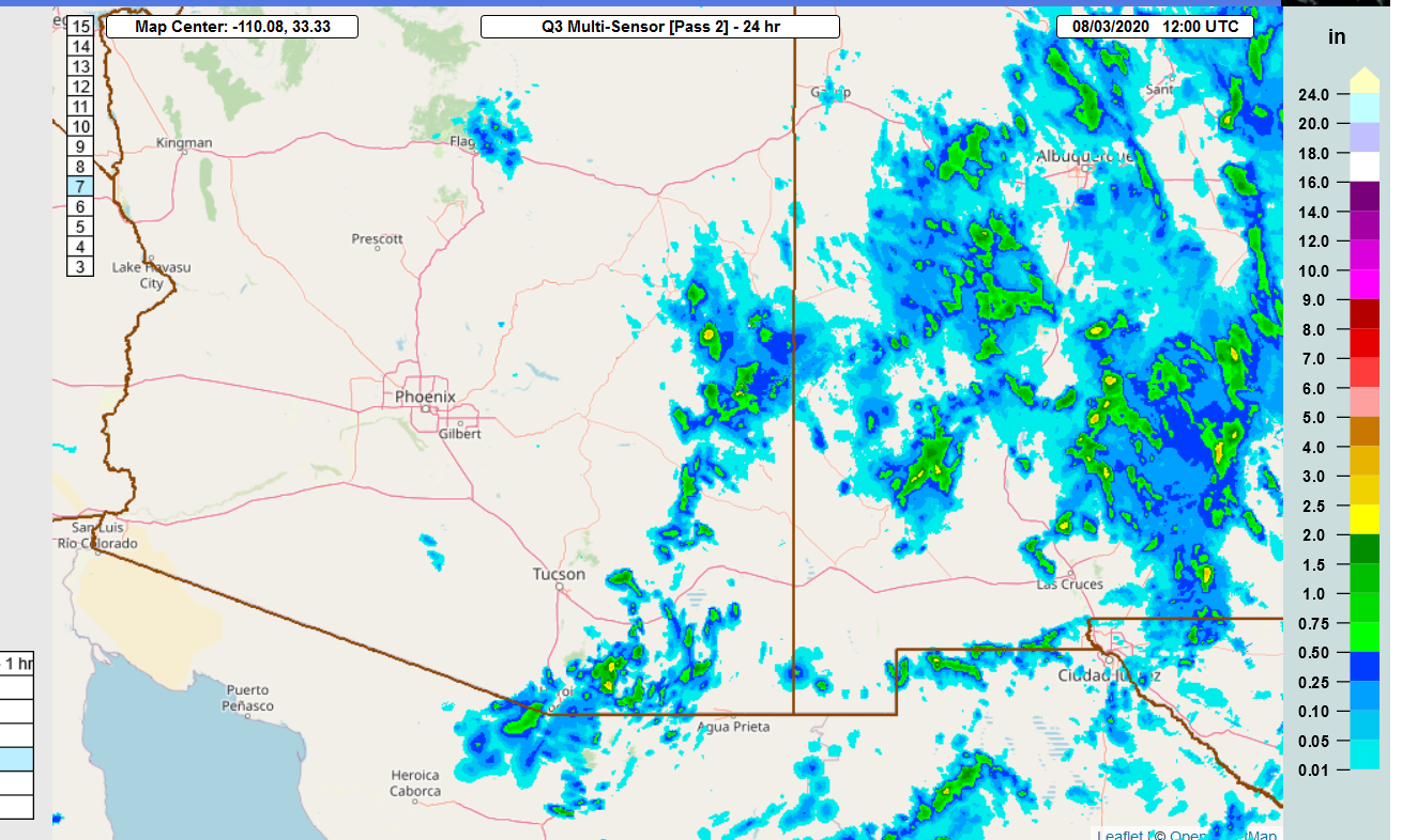
The 15Z WRFRRx did a bit better around the Tucson area as it kept all the activity to the south and east.

The thick smoke resulted in lower temperatures, especially around the Phoenix area. It looks significantly less smokey today, at least here in Tucson.

Discussion
More of the same. The 500mb anticyclone is somewhere over northern Arizona, resulting in light mid-level winds. A weak shortwave trough was noted over southeastern California.

The 300mb map is a bit more interesting as the area of upper divergence that has been over NM the last few days, enhancing storms, is shifted to southeastern Arizona. Maybe it will help out southeastern Arizona today/tonight?

Surface dewpoints are still quite moist, as they range from the upper 50's to low 60's. The Tucson upper air data indicated that the PW is a respectable 33mm (Suominet is still down) and that the MUCAPE was a high 2000 J/kg. Like yesterday, the MU is at around 750mb. I don't recall seeing such high amounts of elevated CAPE two days in a row, but everything has been strange about this monsoon season. The vertical wind profile is poor with no steering flow, but at least there are no strong inversions. A typical mixed bag, but at least the situation is better compared to the drying that was being forecast by the models yesterday.

Here's the Skew-T at 0Z. It looked pretty good with a lot of CAPE and a fairly deeply mixed convective boundary layer. Too bad there wasn't a good outflow to kick things off.

Initializations
There are a few dissipating clouds over southeastern Arizona. Otherwise, no significant features were noted. The RR is a few mm too dry at Tucson and Phoenix, so it may be too dry elsewhere also, but it's impossible to tell without the GPSIPW data.
Day 1
Weak moisture advection continues into southern Arizona, keeping 850mb dewpoints around 10 to 12C. This is significantly more than the forecasts from yesterday. Forecasting more than even a day in advance during the monsoon season can be challenging!

CAPE is expected to be quite high by mid-day, with some areas above 2000 J/kg. The big question is if we can take advantage of this situation?

One problem recently has been the persistent dry 700mb southwesterly flow. This dry air has likely been entraining at the top of the CBL and keeping moisture from mixing deeply.

The CBL manages to get quite deep by later in the afternoon for Tucson, and there is >1300 J/kg of CAPE. If there are going to be storms, they'll have to form on outflow boundaries as the mid-level flow is light and variable. It's going to be close!

Recent model runs generally agree that some storms form over the higher terrain south of Tucson.

A few runs do develop a storm or two in/near Tucson by late afternoon or early evening. CAPE and DCAPE are high so storms could be strong and produce some isolated severe winds.

Day 2
Well, it looks like the monsoon isn't taking a complete break as moisture manages to hang around southern Arizona as weak moisture advection continues in the low levels of the atmosphere.

CAPE is unimpressive as it's mainly below 1000 J/kg.

The CBL manages to mix quite deeply at Tucson, and the vertical wind profile is pretty good with some moderate amount of steering and low-level shear present. Now it's CAPE that is lacking!

Despite low CAPE, storms manage to form by late afternoon over the higher terrain and then move into the Tucson area during the evening hours.

No comments:
Post a Comment
Note: Only a member of this blog may post a comment.