Previous Forecast
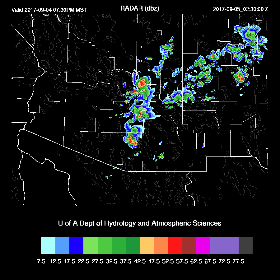
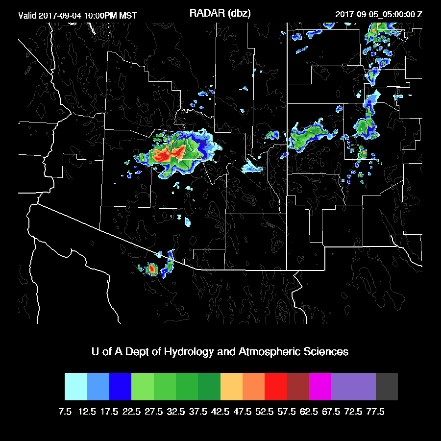
Only a few storms formed over SW Arizona, less than what the WRFRRx had predicted but more than the WRFNAM. Clouds around Tucson kept heating to a minimum and dry SE flow moved into Phoenix decreasing moisture to less than 24mm resulting in no CAPE. All model runs did verify in NW Arizona.


Initializations
An enormous 500mb ridge continues to dominate the western CONUS with heights as high as 5960m. An inverted trough is over the Big Bend region and is moving slowly to the SW. TD Lidia is located off the coast of far northern Baja with thick clouds across far SW and SC Arizona and scattered to broken clouds elsewhere. All the models have initialized clouds fairly well. The NAM is back to being too wet at many sites including NW Mexico, in spite of a sounding from Empalme. The GFS and RRx had minimal errors for the most part and I’d say those are the two favorites for today.

Day 1
IPW continues to be elevated as the lower deserts have from 32 to as much as 50mm (at Yuma). By midday, there is a clear moisture continues over the southwestern ½ of the state while dry air returns to the east due to low-level flow. The important convective initiation points along the Rim, White Mountains, and high terrain of SE Arizona are all dry.

Steering flow is decent over the state as it’s mainly ESE at 15 to 20 knots so if there were storms over the higher elevations, they would be steered into the lower elevations.

High elevation storms look unlikely due to limited CAPE.

Both the WRFNAM and WRFGFS have limited or no activity today except for a repeat of far NW Arizona storms. Why did I write this then???

I started this discussion because the WRFRRx tricked me as it had a lot of activity around Tucson and Phoenix this afternoon. I now find that forecast to be unlikely and would bet that the 15Z WRFRRx backs off on activity.

Day 2
The low level easterly flow decreases and allows moisture to increase over much of the southern ½ of the state as a weak surge is underway.

Another favorable development is mid-level flow becomes northeasterly over much of the eastern ½ of the state along with some cooling.

CAPE is marginal over the higher terrain but quite high in the Tucson and Phoenix areas. If storms can form over the high terrain, they will be steered towards this lower level CAPE and some strong storms may be able to form.

A few eastern Arizona storms do form by later in the afternoon.

Some of the models do forecast scattered low elevation storm during the evening in/around Tucson and Phoenix. Finally some interesting weather!
No comments:
Post a Comment
Note: Only a member of this blog may post a comment.