Initializations
All eyes are on Tropical Storm Lidia which appears to be just NW of La Paz, BCS. Most deep convection is east of the center with some strong storms over the GofC. The NAM and GFS seem to have the best initializations as the RRx has the center 50-75km farther to the NW. The upper air sounding is back at Guaymas/Empalme and it seems to have eliminated the continuous moisture high bias that the NAM had all summer as IPW errors are now minimal in Sonora. Also, having this data again increases confidence that the model runs will do a better job with the location and track of Lidia. Overall, all the initializations look good.
Day 1
Dry easterly low-level flow continues over most of the state with a few areas in central Arizona having a little more IPW thus there is a chance of isolated storms there this afternoon. The very wet air associated with Lidia remains to the south and normally, having a strong tropical system in this location would trigger a strong surge of moisture into Arizona so it’s quite depressing to see how dry it remains.
It’s even more distressing at 850mb and it’s too dry for any activity in the lower elevations.

A few weak storms manage to form over the Rim later this afternoon.
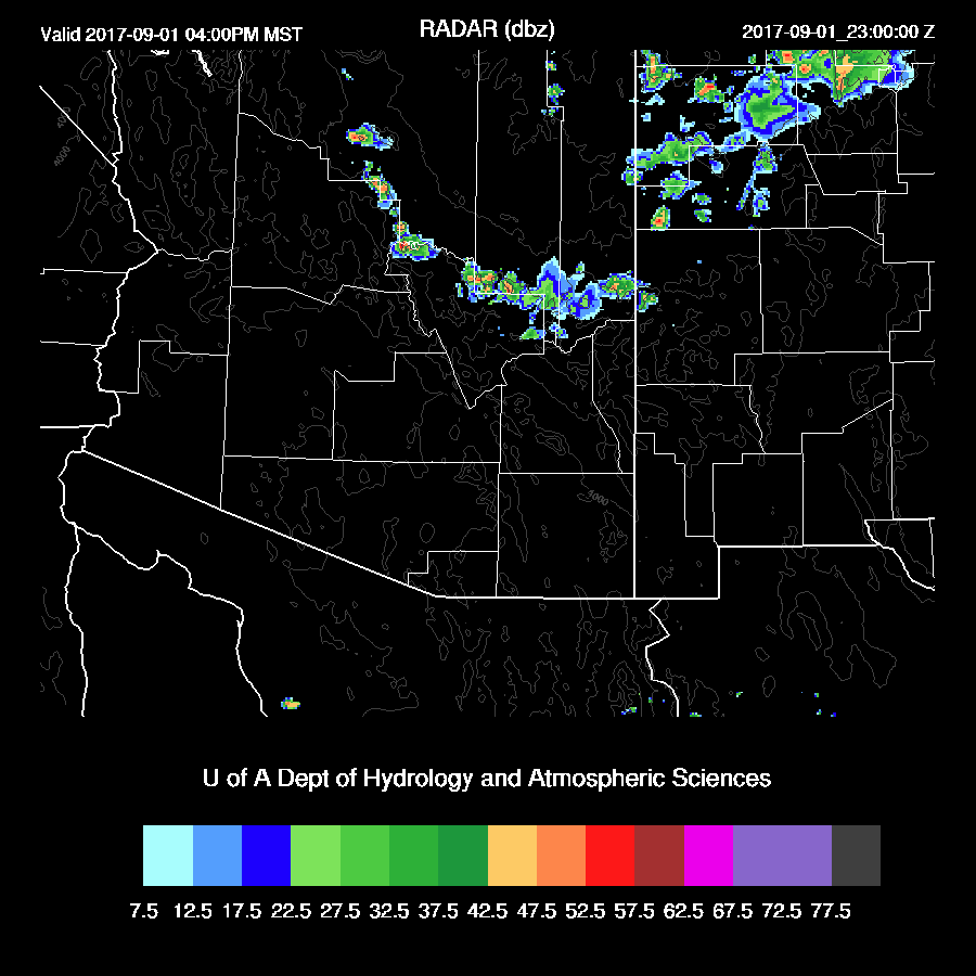
Late in the evening, moisture finally makes its way into far southern Arizona.

Day 2
Lidia continues to move NW along the coast of Baja with wet air mainly in western Arizona as the low-level dry ESE flow keeps most of the state.

By afternoon, only far southern and southwestern Arizona have enough moisture/CAPE for any storms. If there is some heating a few storms are possible in southwestern Arizona. The various runs do not agree on the amount of insolation as the WRFRRx is very cloudy. The WRFGFS does allow some heating and it is the wettest thus it develops a few storms later in the afternoon.
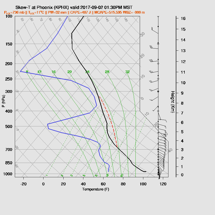
It looks unlikely that Tucson will see any activity as the low-level easterlies eat away at the shallow moist layer. CAPE is also limited as the profile is quite warm above 500mb.

A similar story for Phoenix, unfortunately.
A few storms manage to form in far SW Arizona during the afternoon into the evening. WRFNAM below.
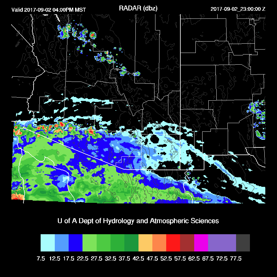
The WRFGFS is a bit more activity with a few strong storms over parts of southern and southwestern Arizona as well as Mohave County.

The WRFGFS keeps activity going into the evening over SW and far south central Arizona.

Day 3
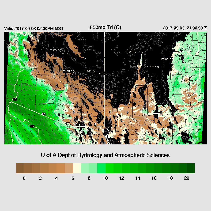
Low-level dry easterlies continue across the state which results in decreasing moisture and no activity. Awful!
No comments:
Post a Comment
Note: Only a member of this blog may post a comment.