Previous Forecast
Yesterday’s WRFNAM forecast for today appears to not have enough moisture and too strong low-level easterly winds as the morning sounding from Tucson is quite wet in the lower troposphere along with over 1000 J/kg of CAPE. The WRFGFS and 15Z WRFRRx forecast sounding looks more accurate and these model runs were more active for storms this afternoon.
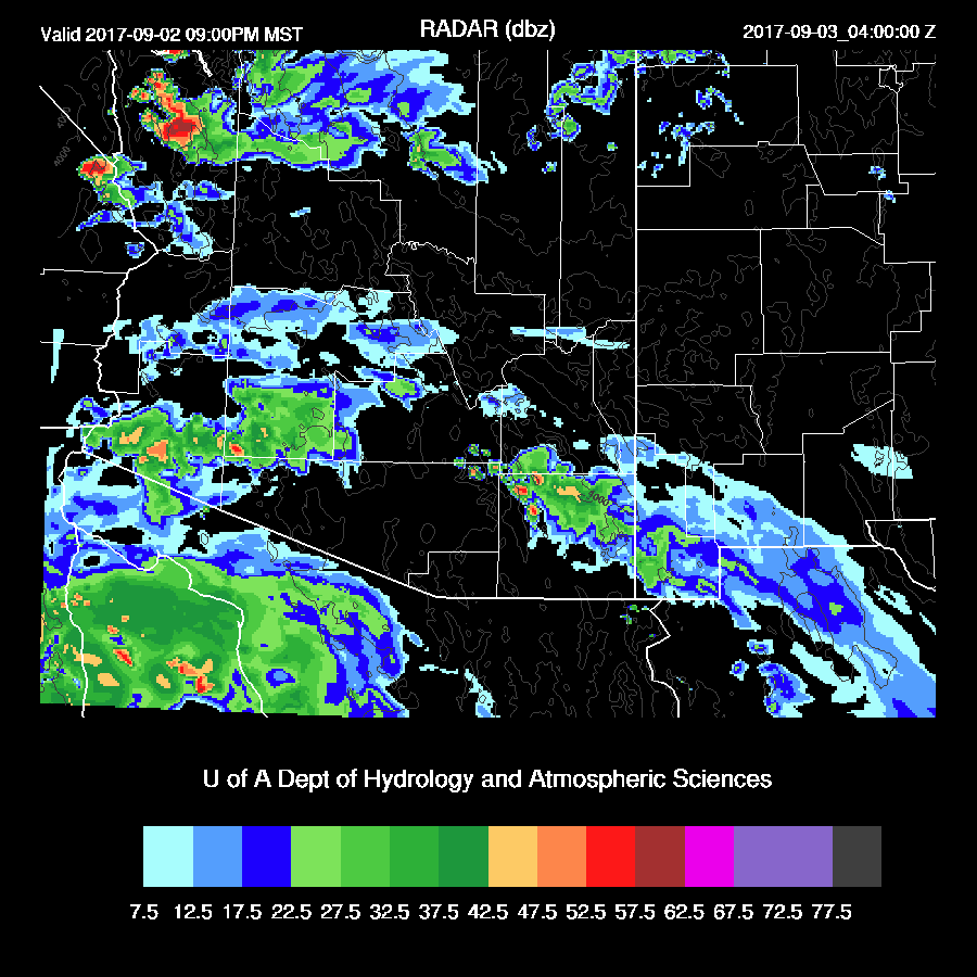
15Z WRFRRx

Initializations
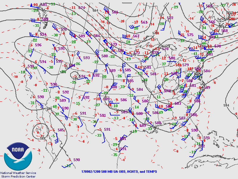
I am traveling later this morning so I don’t have time to wait for all the 12Z runs. The tropical storm appears to be just inland over central Baja and continues to have deep convection in this area. A large mid/high-level cloud shield has moved into SE Arizona and these clouds will play a critical role in today’s deep convection chances. The 6z WRFGFS cloud forecast is quite good this morning while the 6z WRFNAM doesn’t have quite enough in southern Arizona. Both have Lidia a bit too far to the west but it’s not easy to find the exact location so it’s hard to say for sure. The 12z RRx clouds appear to be initialized well and also has the center a bit too far west. There was a sounding from Empalme this morning which will increase model initialization accuracy in NW Mexico and this may have resulted in the very good IPW initializations especially at 12Z. Overall, the initializations seem to have handled the complex situation well so model confidence is high. I just took a quick look at the 12Z NAM and it has done a very poor job initializing the TS as it’s way too strong. It’s cloud initialization is also poor so I’m not going to use it.
Day 1
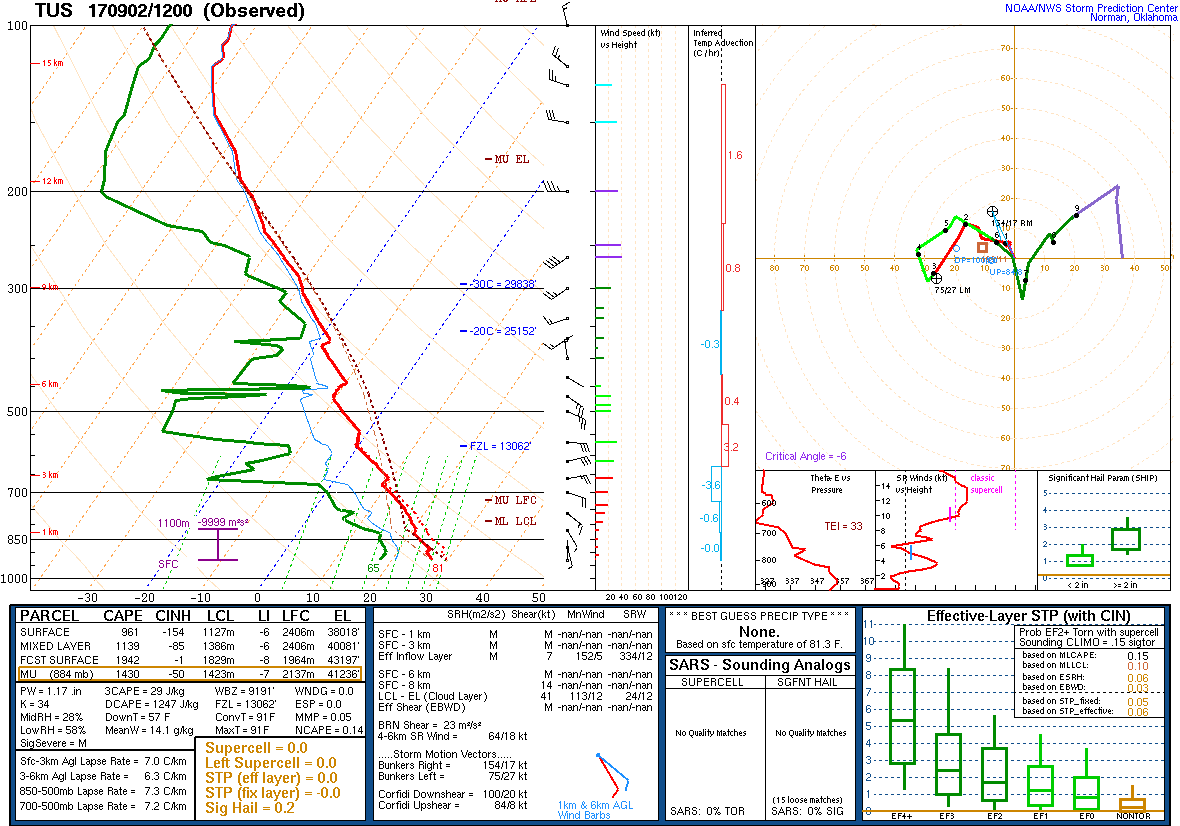
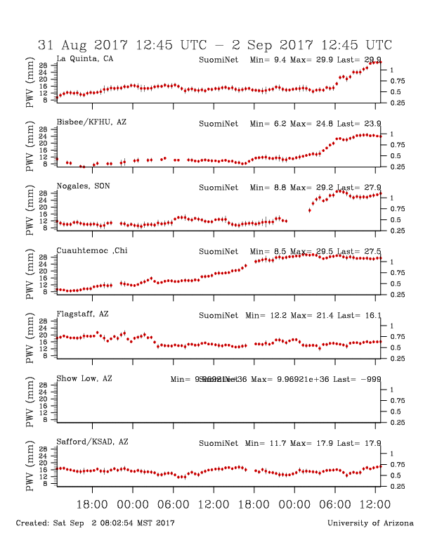
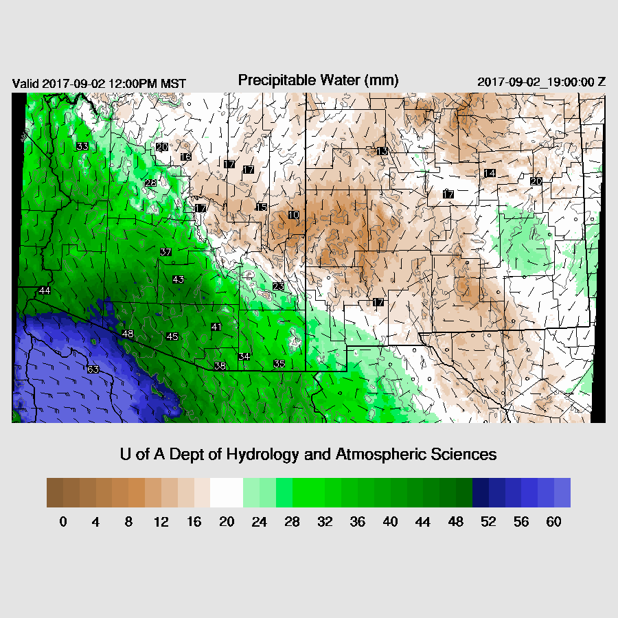
Moisture increased rapidly overnight, into the upper 20s to nearly 40mm at Yuma.
It does appear that the dry low-level easterlies have weakened somewhat thus allowing more moisture to remain over southern and southwestern Arizona this afternoon.
CAPE is low to moderate over far southern Arizona but quite high over central and western Arizona thus with enough sun, it could be an active day over parts of the state.
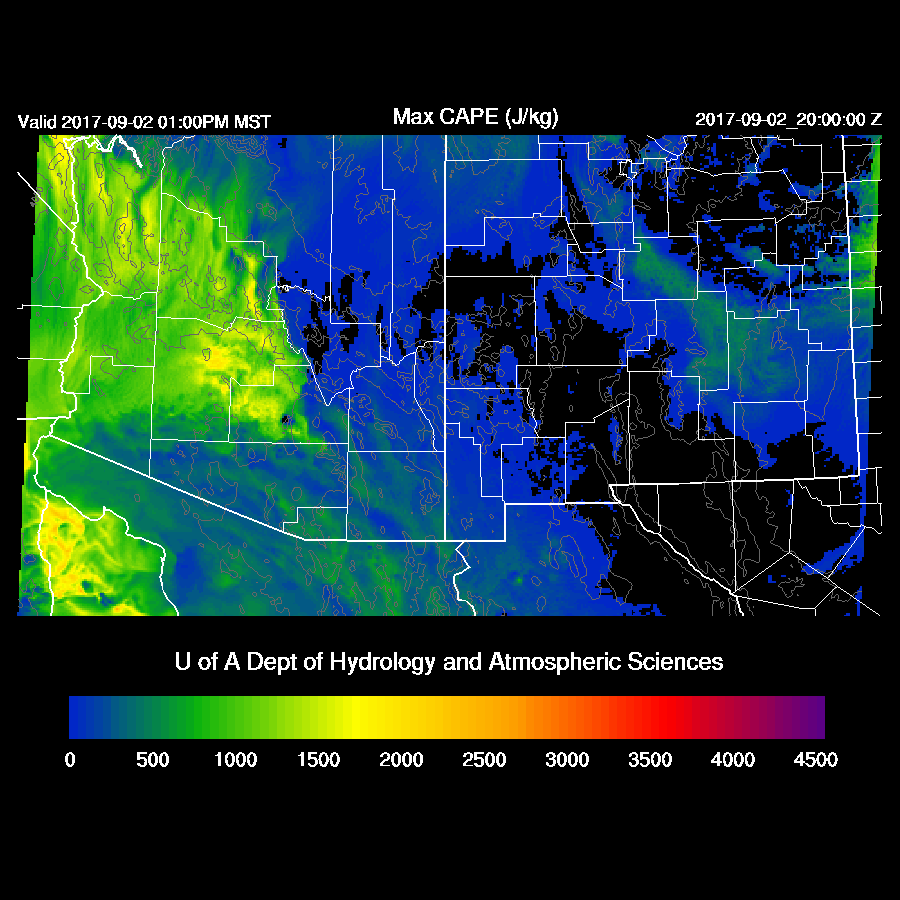
It appears Tucson remains cloudy for much of the day thus not much heating or much CAPE in spite of a wet 42mm of IPW as mid and upper levels are warm. However, if there is more heating, there certainly could be a few weak storms around.

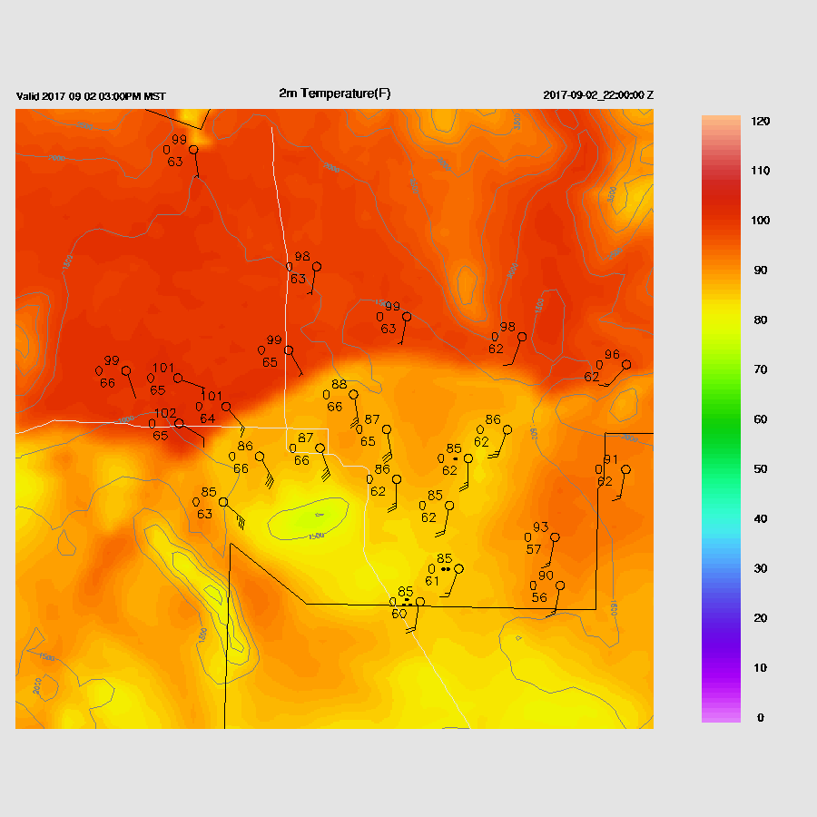
It’s a different story at Phoenix as it remains mostly clear which allows good heating. Afternoon CAPE is quite high at around 1200 J/kg thus it’s possible there will be storms in and around the Phoenix area this afternoon.

Storms develop in the clear areas of central Arizona this afternoon with some being quite strong. The 6Z runs are similar with locations and timings.
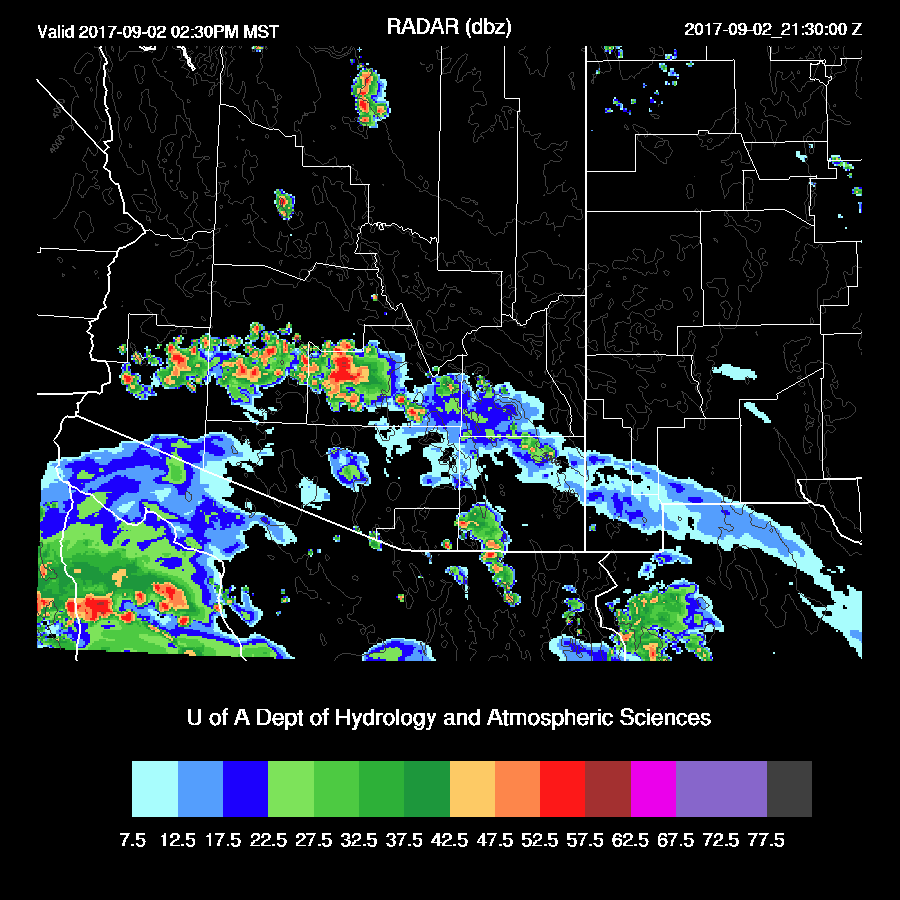
Depending on the location, there could be a big dust storm/haboob in Phoenix this afternoon as the forecast Skew-T has a moderate inverted V profile thus outflow winds may be strong.
Scattered storms continue across southern Arizona into the late afternoon with strong storms developing over NW Arizona.
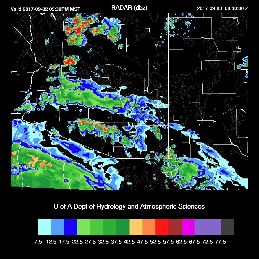
A few weak storms continue across southern Arizona into the evening hours and a few strong storms are forecast to be in the vicinity of the CO River near Bullhead City.
Quite a change from yesterday's runs, especially on the dry easterlies and position of Lidia. Very difficult to get good initialization on Lidia. Could be interesting here in PHX. Safe travels.
ReplyDelete