Generally, the model forecasts were accurate. The 12Z WRFRR turned out to be too dry, which was expected. The best of the others was the WRFNAM. No forecast picked up on the very heavy rain just west of Tucson though.


Initializations
So much for decent mid-level steering for southern Arizona, at least at 12Z. Winds are light and variable over the state, but temperatures are now a more favorable -6 to -8C. Note Oakland with a -1C! I looked at the sounding climatology for this site, and this is the second warmest ever reported. There is a broad trough stretching from central Texas back into NW Mexico. A large MCV can be seen spinning in the visible imagery over southern Sonora, leftover from the large MCS from last night. There is also an ongoing area of deep convection over the southern Gulf of California partially associated with another inverted trough and moisture that Ivo seems to be advecting into the area. What a complicated situation! The RR and NAM seem to have the best handle on the upper air features. The NAM has initialized the ongoing activity the best, but all had something going on down there this morning.


Most of the debris clouds have burned off this morning over southern Arizona which was initialized/forecast well. The Suominet GPSIPW data is partially back except for all the Arizona DOT sites, which is more than 1/2 of the stations in the state. I have no idea if this data is going to return anytime soon. Also, all stations south of Hermosillo are missing. What stations there are, indicate only minimal errors for the RR and GFS and a few moderate errors for the NAM. Overall, model initializations are accurate, considering the complexity of the situation, and there is no clear favorite.
Day 1
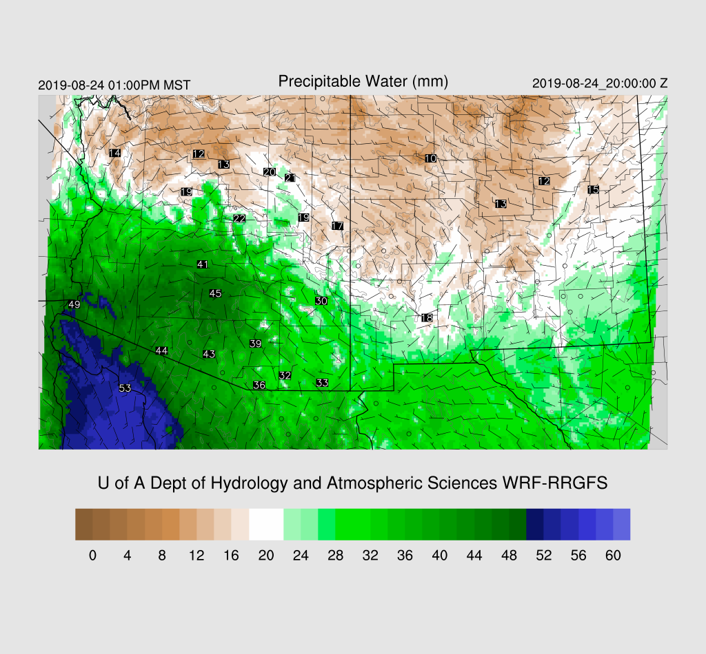
It was noticeably cooler on my ride in this morning thanks to the widespread activity near the Tucson area and down south. Will there be enough heating to overcome the cooling? So far, 2m temperature forecasts are quite close to observed so at least the model runs have been accurate so far. What is not accurate was yesterday's forecast of much higher PW as it was forecast to be in the upper 30 to low 40mm range. Tucson has only 34mm, and this low bias has been a recent problem with the next-day forecasts. The moisture isn't far away as Moctezuma and Hermosillo PW is around 50mm. The forecast is for PW to increase slightly over southern Arizona as a gulf surge continues.

850mb dewpoint temperatures are more than sufficient as they are in the 14-16C range.

While winds are light and variable at 500mb, 600mb has some decent southeasterly winds over southern Arizona as the high center is located over west-central NM.

It continues to cool down at 500mb as temperatures over southeastern Arizona are forecast to be around -7 to -8C.

Lastly, CAPE is forecast to be very high, especially for southcentral Arizona. So, just from looking at the different plots, it seems like it will be an active day.

By late afternoon, there are areas strong storms over the higher elevations of southeastern Arizona with a few even south of Phoenix.

The model forecasts diverge quite a bit at this point as the WRFGFS shuts down convection over SE Arizona, which I find unlikely. The WRFRR forecast Skew-T (below) is really impressive with enormous CAPE, deeply mixed PBL, low-level shear, and a little easterly/northeasterly steering flow. The WRFGFS also has CAPE approaching 2000 J/kg, but there is a strong cap on top of the mixed layer; thus, it's lack of activity.

The WRFNAM has much less moisture, which results in only 700-1000 J/kg. Which is correct? We'll have to watch the GPSIPW.

The WRFNAM keeps most storm activity over the higher terrain during the evening hours.

The WRFRR has strong storms scattered around southeastern Arizona during the evening hours, including the Tucson area.

It looks like the main threat is heavy rain with isolated strong winds due to wet microbursts.

It's not out of the question that Phoenix could see a few storms as CAPE is around 1200-1700 J/kg. However, strong outflow boundaries will be needed to provide the lift needed to reach the LFC (~600mb) and break the cap.

The WRFGFS does develop a few storms south of Phoenix which does result in an outflow boundary moving through during the early evening. It is insufficient to trigger additional deep convection.


The potential is there with CAPE from 1800-2000 J/kg. Hopefully, this is not going to be a wasted opportunity!

All is not lost for Pinal and Maricopa Counties as CAPE remains exceptionally high during the early morning hours.

The Phoenix Skew-T definitely shows the potential for elevated deep convection.

A few of the forecasts do have scattered storms from Phoenix to near Tucson during the morning hours. WRF is not very good at predicting these events, so there could be more activity than depicted. These events are known to produce very heavy rains.

Day 2
It continues to be very moist over southern Arizona in spite of the weakening gulf surge.
CAPE continues to be very high to the extreme for much of southern Arizona, but will there be sufficient heating to overcome the inversions?

It looks like another wasted opportunity as are two inversions to overcome for both Tucson and Phoenix.


The only forecast that has any significant activity is the WRFNAM which predicts a washout of the annual HAS welcome party at the Betterton's.

No comments:
Post a Comment
Note: Only a member of this blog may post a comment.