Sufficient moisture for afternoon thunderstorms has been waxing and waning over far southeastern Arizona and New Mexico recently. Moisture is forecast to move as far as Tucson tomorrow which is likely to result in scattered and very strong dry microburst induced winds. Storms will be aided by a weak disturbance moving in from southern California. It wasn't that apparent in the 500mb 12Z analysis, but it does show up on the GOES WV imagery.

Day 2
Overnight storm activity in northeastern Sonora results in strong moisture advection into southeastern Arizona tomorrow and is especially dramatic on the 850mb Td plot. Moisture continues to increase throughout the day.

CAPE is forecast to be quite high, (for June) over southeastern Arizona and will support quite a bit of activity.

Mid-level flow steering flow is weak, from the SSE, but may be sufficient to move a few storms into the lower elevations. The main mechanism for storms will be new development on the outflow boundaries. Note that the trough can be seen somewhere west of Yuma.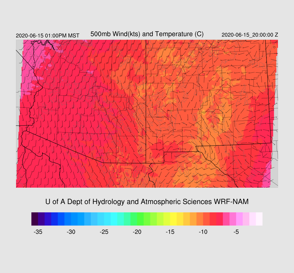

By early afternoon around Tucson, the PBL is mixed deeply and CAPE is around 500 J/Kg. However, the wind profile isn't favorable for widespread storms in the lower elevations. The mixed layer is up to almost 600mb so it's likely storms will produce very strong dry microburst winds.

What I found quite interesting is all of the 12Z runs have a lot of activity for southeastern Arizona tomorrow. It's not often that there is this kind of agreement for the Day 2 forecast thus confidence is high. This could certainly all change by tomorrow's 12Z runs though! Storms form over the higher terrain of SE Arizona by mid-afternoon.

By late afternoon, some storms develop/move to the west into eastern Pima County. Storms dissipate as they move into drier and more stable air.

The main threat to the Tucson area is very strong to isolated severe winds. Gusts may be above 60 knots.

Some storms continue over eastern Arizona into the evening.

No comments:
Post a Comment
Note: Only a member of this blog may post a comment.