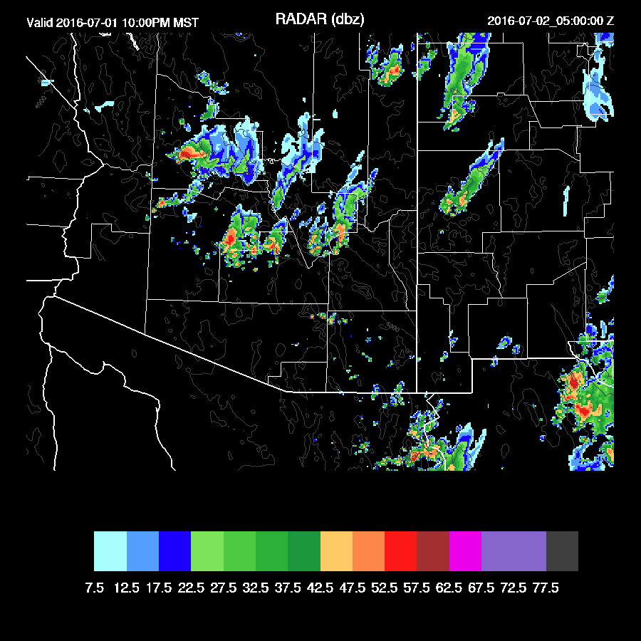
As is typically the case when the model runs disagree, what was observed was somewhere between the two. Tucson was able to recover somewhat as the sun came out by mid morning which led to a few strong storms by afternoon. Less than the WRFGFS, more than the WRFNAM. The same was the case around the Phoenix area where scattered strong late afternoon storms were able to generate enough outflows to trigger storms throughout the Phoenix area. The WRFGFS also did well predicting the early morning storms around the Tucson area.
Initializations
Clouds cloud clouds. The 12Z RR did a poor job initializing the morning clouds and showers. The 12Z NAM isn't much better as it doesn't have nearly enough coverage over Pinal and Maricopa counties. The 12Z GFS was similar. I took a look at the 6Z runs and they are terrible too. The GFS IPW initialization was the best of the three as it had only minimal errors. The IT is located near the AZ/Sonora border southwest of Tucson and is initialized well. Again, low confidence in the model forecasts due to the clouds with the WRFGFS looking the best.
Day 1
The WRFNAM from yesterday was correct with it's prediction of very high IPW for southern Arizona as 50+mm of IPW is present over much of SW Arizona. Typically, a situation like this would result in very little precipitation due to the extensive clouds and modified air-mass, "too wet to rain". The wildcard is the approaching IT.

The IT moves very slowly to the north and is somewhere over central Pima county during the afternoon. Warm air at the mid levels, around -5C, is another negative today.

There are some areas of moderate CAPE thus if the sun can come out, some strong thunderstorms will form. White Mountains and far western Arizona are the only clear areas at this time.

The areal coverage is probably overdone, but the favored areas look like northern and eastern Arizona.

Strong storms form out along the CO river valley and continue in eastern Arizona early this evening. Again, these areas are likely to see more sun (especially far western Arizona) so this looks plausible.

Deep convection looks unlikely in/around Tucson and Phoenix. Phoenix does have some CAPE, but without deeper mixing or strong outflows, deep convection is unlikely. Tucson has a 'too wet to rain' profile with it nearly saturated and limited CAPE.


Day 2
The IT lifts northward thus winds become west or southwest over much of the state. Some cooler air is present over western Arizona.

It's still very wet over central and eastern Arizona thus a chance for storms, but dry air is working in from both the south and the west.

With some dynamics in play (divergence aloft?, the model runs do fire off some storms over central Arizona during the morning hours. Somewhat surprisingly, both the WRFGFS and WRFNAM are similar.

CAPE is quite high from central Arizona into SW Arizona as moisture remains high combined with cooling aloft.

Impressive CAPE over Phoenix tomorrow afternoon with 1700-2000 J/Kg. Drier/warmer air advecting in from the west at 700mb seems to be holding back widespread deep convection along with unfavorable wind profile.

Most of the activity moves into NM during the afternoon with a few strong storms forming around the Phoenix area.

Activity continues to the north of Phoenix during the evening with some storms drifting into the valley during the night. With the CAPE present some storms could be very strong.
No comments:
Post a Comment
Note: Only a member of this blog may post a comment.