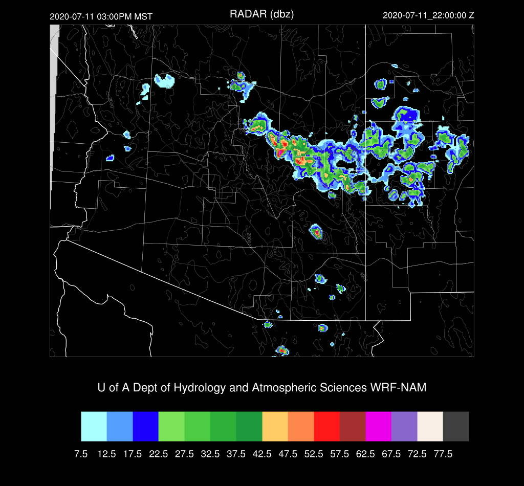
A bit more activity occurred then was expected as a few weak storms developed around the Tucson area during the evening hours. The Mogollon Rim was also more active than expected.


Discussion
You don't see this every day on a 500mb map; 500mb 5990m heights at both Tucson and Albuquerque where it's also -3C. I bet we see >6000m at 0Z. An area of clouds and some showers are moving through far southwestern Arizona, due to an MCS that was present over northern Sonora last night. The rest of the state is mostly clear. PW is still moderately high, with lower elevation locations ranging from 33-37mm.


Initializations
The various models were generally initialized well. The 6Z runs were initialized a bit too wet over Arizona, though.
Day 1
I was debating about writing a discussion today due to the sad 12Z Tucson sounding. However, there is just enough moisture around that some storms could develop over the mountains and perhaps threaten some lower elevations around Tucson due to the favorable wind profile. PW remains mainly the same today with little or no additional moist advection from the south. Dry air from NM continues to advect into eastern Arizona. Sometimes, this backdoor dryline front can act as an area of low-level convergence and trigger storms.

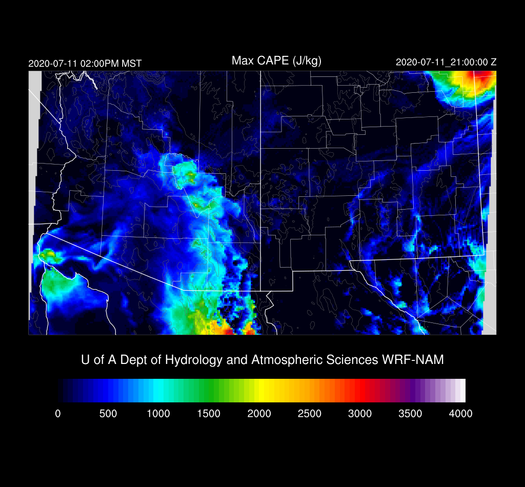
Scattered storms over the high terrain of the White Mountains and Rim are likely this afternoon.
A couple of model runs develop storms in western Cochise County later this afternoon and move them towards Tucson. However, they die out as they move into the lower elevations.

While unlikely, it is still possible the Tucson may see a storm or two as CAPE is pretty good. It's going to take a strong outflow to trigger convection as the mixed layer is quite far from the LFC.

Day 2
The 500mb anti-cyclone remains over NE Arizona, as does the hot air, continuing the unfavorable conditions for storms.

The backdoor dryline moves a bit to the west and is located about over Tucson, resulting in some drying. More bad news for monsoon storms.

Activity is limited to only the higher terrain of Northern/Eastern Arizona.

It is going to be extremely hot.

No comments:
Post a Comment
Note: Only a member of this blog may post a comment.