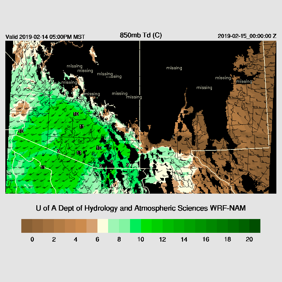
It is likely that a major heavy precipitation event will occur over the higher elevations of mainly NE Pima county and over the higher terrain northeast of Phoenix. The forecast is unchanged from yesterday for record or near-record wet air to move over Arizona by tomorrow. What has changed is that more dynamical forcing is forecast which will result in heavier rain with even some moderate amounts in mid to low elevations especially in and around Phoenix. The below plot is 850mb dew-point temperatures and winds. Low-level moisture is very plentiful with dew-point temperatures are at or above 10c which is typically the threshold for an active summer monsoon day! Also, note the strong low-level SW flow which will result in strong orographic forcing and some enormous precipitation amounts over higher elevations of central and southern Arizona.
The Atmospheric River extends well down to the SW of Arizona with PW > 50mm which is very unusual.

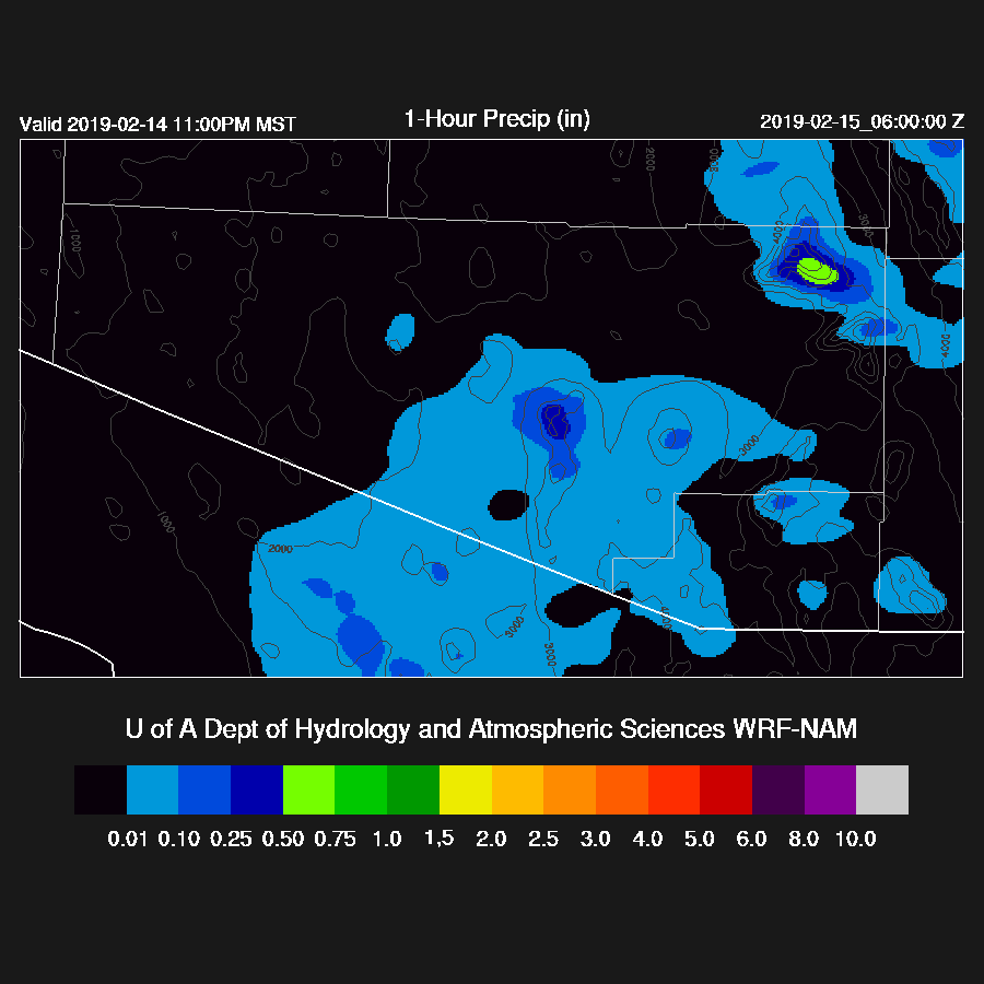
Some localized 4-6” amounts are likely over the higher terrain. 12z WRFNAM.

The model runs range from about 4 inches to over 6 inches (below plot) by Friday morning for far NE Pima County.

Hourly rates exceed .5"/hour over the higher terrain.
I'm not 100% sure the ensemble product (last 6 WRF runs) is working correctly but this particular plot looks accurate. It says 4-5 inches over Mt Lemmon with the outside chance of over 6 inches. The ensemble max is contoured and the ensemble mean is color filled. Note that the color table is different than above.

3 to 6 inches is also likely for the mountains NE of Phoenix with some isolated areas above 6 inches.

Here's the snowfall forecast I mentioned in the Twitter post. Almost all the precipitation falls as rain.

I was reminded to include our new plume diagrams (thanks to Tony Lorenzo). Here's the one for Phoenix which shows high confidence of a decent amount of precipitation.

No comments:
Post a Comment
Note: Only a member of this blog may post a comment.