As of 15Z, low-level moisture has moved into southeastern Arizona as dew-points are now in the low to mid 50's. It's really hard to write well with a mouse! My isodrosotherm labels look like they were written by a 3-year-old. Moisture has just made it to the east side of Tucson as dew-points there have increased into the low 50's.
It's still dry to the west as seen on the 12Z TWC sounding, but some mid-level moisture is present and even a bit of elevated CAPE which on its own, could support some high based convection. The wind field is mainly westerly except below 700mb where it is almost southerly thus moisture from the south may be advected into the Tucson area this morning.
There is a weak mid-level trough centered just west of Yuma which results in quite strong southerly flow over the state and could import more moisture into southeastern Arizona today. Note the great upper air coverage in NW Mexico as all stations reported data at 12Z. Hopefully, this will continue throughout the monsoon season.
Model initializations are generally accurate. However, the NAM seems to be slightly too dry in southeastern Arizona.
Day 1
The southern California low is obvious at 850mb and is responsible for advocating wet air from Sonora into southeastern Arizona. Definitely not monsoon flow on this first official day of the Monsoon Season.
With this moisture, comes an increase in CAPE, and some parts of southeastern Arizona exceed 1000 J/Kg which is certainly impressive for mid-June.
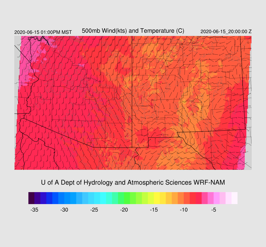
The model runs have not all been on the same page with the magnitude of the moisture increase. Overnight runs were drier which resulted in less activity then the 12Z runs from yesterday and no activity for the Tucson area. This morning 12Z runs seem to be in the middle, with less activity compared to yesterday's 12Z runs, but more than the 0 and 6Z runs. The forecast vertical profile for the early afternoon at Tucson as 5-700 J/Kg of CAPE and a PW of 25mm which is sufficient to support some thunderstorm activity. The steering winds aren't favorable for moving storms off of high terrain into the lower elevations. Another negative is the warm layer at 500mb which could cap deeper convection. Thus, it looks unlikely that any storms will develop in the lower elevations.
Higher elevations of southeastern Arizona develop storms by early afternoon.
It looks likely that an outflow boundary will move across Tucson later this afternoon, but it isn't nearly as strong as the one forecast yesterday as the storms are weaker. Still, some localized strong winds are possible.
Scattered storms continue into the early evening hours, mainly over the higher terrain.
Day 2
Moisture lingers over far southeastern Arizona which results in a few afternoon thunderstorms.


